- Usage in publication:
-
- Laney shale member*
- Modifications:
-
- Named
- Dominant lithology:
-
- Shale
- Sandstone
- Limestone
- AAPG geologic province:
-
- Green River basin
Summary:
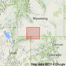
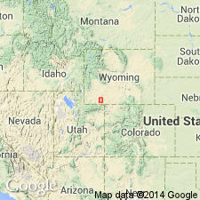
Named as the third member from base (of four members) of the Green River formation for exposures along Laney Rim on the northwest edge of the Washakie basin, T18N, R97W, Sweetwater Co, WY in the Greater Green River basin. Extends east (geologic map) into Carbon Co, WY and south into Moffat Co, CO, also in the Greater Green River basin. No type locality designated. Also called the upper oil shale of the Green River. Unconformably overlies the Cathedral Bluffs red beds member (new) of the Green River. Unconformably underlies the plant beds and Tower sandstone of Powell. Consists of white and green fissile shale, limestone, and sandstone, and some dark bituminous shale. Ranges from 0-950 ft thick. One measured section 700 ft thick described at Lookout Mountain, WY, and another 850 ft thick described at T10N, R96W, that extends from the Snake River to the top of Sunny Point, Moffat Co. Stratigraphic chart. Of Eocene age.
Source: GNU records (USGS DDS-6; Denver GNULEX).
- Usage in publication:
-
- Laney member
- Modifications:
-
- Revised
- Areal extent
- AAPG geologic province:
-
- Green River basin
Summary:
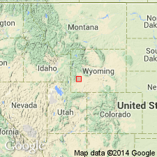
Revised in that Laney member of Green River formation overlies the newly named Fontenelle member of the Green River in Lincoln Co, WY in the Greater Green River basin. Maximum thickness in area is 131 ft in sec 29, T25N, R112W. Thins westward. Cannot be mapped with certainty south of Fontenelle Creek in T24N, R114W. Basal unit--a 40-50 ft thick, white to cream limestone--has concretionary growths, algal bioherms and detrital material derived from algal growths. These algal growths formed around tree branches or trunks attaining a log-like appearance (1 ft diameter, 4+ ft length). The algal deposits suggest that the northwest shore of Laney lake was south of the Green River-New Fork river junction. The overlying part of the Laney is a succession of platy siltstone, thin-bedded shale, marl, and oil shale, all of which weather white. Fossil insects and poorly preserved leaves. Of middle Eocene age. Cross section; geologic map
Source: GNU records (USGS DDS-6; Denver GNULEX).
- Usage in publication:
-
- Laney shale member*
- Modifications:
-
- Revised
- AAPG geologic province:
-
- Green River basin
Summary:
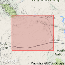
Is a member of the Green River formation in the Great Divide basin of Sweetwater Co, WY in the Greater Green River basin. Only the lower 100-130 ft of Laney--the green and brown oil shale, oolitic sandstone, marl, and cherty algal beds capped by a cherty botryoidal algal bed--are exposed in report area. Is equivalent to the Morrow Creek member of the Green River of Cyclone Rim. Conformably underlies Bridger formation. Overlies Cathedral Bluffs tongue of Wasatch. No fossils collected from Laney, but middle Eocene fossils have been collected from the Morrow Creek at another locality. Cross section.
Source: GNU records (USGS DDS-6; Denver GNULEX).
- Usage in publication:
-
- Laney shale member*
- Modifications:
-
- Revised
- AAPG geologic province:
-
- Green River basin
Summary:
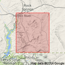
Morrow Creek member of Green River formation recognized as equivalent to the Laney shale member of Green River in southwest WY in the Greater Green River basin. Morrow Creek therefore abandoned and name Laney replaces use of that name. Tower sandstone assigned to Laney as the Tower sandstone lentil. Tower occurs in lower part of Laney; its base coincides with base of Laney at a few places. Tower is known to be a uniformly fine grained crystal tuff, rather than a coarse-grained sand. Laney overlies Wilkins Peak member (new) of Green River. Laney underlies Bridger formation. Of Eocene age.
Source: GNU records (USGS DDS-6; Denver GNULEX).
- Usage in publication:
-
- Laney Shale Member*
- Modifications:
-
- Revised
- AAPG geologic province:
-
- Green River basin
Summary:
Name Tower Sandstone Lentil of Green River Formation has been applied to resistant lenticular sandstone and siltstone bodies that occur at many different horizons, mostly lower 400 ft, in the Laney Shale Member of Green River Formation of Eocene age, Sweetwater Co, WY in Greater Green River basin. Name Tower therefore abandoned.
Source: GNU records (USGS DDS-6; Denver GNULEX).
- Usage in publication:
-
- Laney Member*
- Modifications:
-
- Revised
- AAPG geologic province:
-
- Green River basin
Summary:
Divided into three newly named beds: LaClede (base), Sand Butte, and Hartt Cabin (top) Beds in Washakie basin of Greater Green River basin. Name changed from Laney Shale Member to Laney Member (of Green River Formation). Assigned a middle Eocene age; fossil mammals found near base of Hartt Cabin Bed.
Source: GNU records (USGS DDS-6; Denver GNULEX).
- Usage in publication:
-
- Laney Member
- Modifications:
-
- Revised
- Overview
- AAPG geologic province:
-
- Green River basin
Summary:
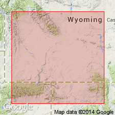
Along western margin of Greater Green River basin, the laminated carbonate facies of Green River Formation intertongues with Wasatch Formation, and the Green River can thus be divided into two lacustrine units named Craven Creek Bed (base) and Cow Hollow Bed (top). Member extends over 15,000 sq mi of southwest WY and is the thickest (up to 1,800 ft) and most extensive unit of the Green River. Geologic map. Cross sections.
Source: GNU records (USGS DDS-6; Denver GNULEX).
- Usage in publication:
-
- Laney Member*
- Modifications:
-
- Revised
- AAPG geologic province:
-
- Green River basin
Summary:
Rocks of the Green River Formation in the Washakie basin formerly assigned to part of the Laney Member by Bradley (1945, 1964), to the basal unnamed tongue of the Laney Member by Roehler (1985, USGS I-1615), and to an intertongued Cathedral Bluffs and Laney unit, are reassigned to the Godiva Rim Member (new) of the Green River. The new member whose type is in Moffat Co, CO thickens southward into CO where it was assigned in earlier reports to the gray zone of the Wasatch Formation (McKay, Bergin, 1974, USGS GQ-1145). Godiva Rim rocks were deposited in and adjacent to Lake Gosiute in a mixed mudflat and lacustrine environment, a type of rock associated with the Green River rather than Wasatch. Laney is a middle Eocene unit of lacustrine origin. Cross section.
Source: GNU records (USGS DDS-6; Denver GNULEX).
For more information, please contact Nancy Stamm, Geologic Names Committee Secretary.
Asterisk (*) indicates published by U.S. Geological Survey authors.
"No current usage" (†) implies that a name has been abandoned or has fallen into disuse. Former usage and, if known, replacement name given in parentheses ( ).
Slash (/) indicates name conflicts with nomenclatural guidelines (CSN, 1933; ACSN, 1961, 1970; NACSN, 1983, 2005, 2021). May be explained within brackets ([ ]).

