- Usage in publication:
-
- Lane Mountain Andesite*
- Modifications:
-
- Named
- Dominant lithology:
-
- Andesite
- AAPG geologic province:
-
- Mojave basin
Summary:
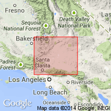
Named [Lane Mountain Volcanics] in PhD thesis (McCulloh, 1952) for Lane Mountain, type locality in Lane Mountain 15' quad (15 mi east-southeast of Opal Mountain) San Bernardino Co, CA. Covers about 2 sq mi to form slightly domed nearly flat-topped butte. Several other local extrusions form similar buttes to north and east beyond quad. Consists of gray to brown, massive porphyritic andesite composed of one or more flows totaling 480 ft thick. Unconformably overlies Barstow Formation east of quad. Is presumably Pliocene(?) age.
Source: GNU records (USGS DDS-6; Menlo GNULEX).

- Usage in publication:
-
- Lane Mountain Quartz Latite*
- Modifications:
-
- Redescribed
- Areal extent
- Age modified
- Geochronologic dating
- AAPG geologic province:
-
- Mojave basin
Summary:
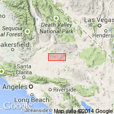
Lane Mountain Volcanics of McCulloh (1952) and Lane Mountain Andesite of Dibblee (1968) is redescribed as Lane Mountain Quartz Latite since rocks at Lane Mountain are an eroded remnant of several welded quartz latite ash-flow sheets. Unit is restricted to Lane Mountain since its rocks are not correlative with flows and intrusions of andesite and dacite mapped by McCulloh (1952) in Calico Mountains nor with andesite flows mapped by Dibblee (1968) near Murphy's Well. Age is early Miocene based on radiometric age of 23.1 +/-0.2 Ma from tuff near base of unit at Lane Mountain.
Source: GNU records (USGS DDS-6; Menlo GNULEX).
For more information, please contact Nancy Stamm, Geologic Names Committee Secretary.
Asterisk (*) indicates published by U.S. Geological Survey authors.
"No current usage" (†) implies that a name has been abandoned or has fallen into disuse. Former usage and, if known, replacement name given in parentheses ( ).
Slash (/) indicates name conflicts with nomenclatural guidelines (CSN, 1933; ACSN, 1961, 1970; NACSN, 1983, 2005, 2021). May be explained within brackets ([ ]).

