- Usage in publication:
-
- Lamerdorf Tuff Member
- Modifications:
-
- Named
- Reference
- Dominant lithology:
-
- Tuff
- AAPG geologic province:
-
- Great Basin province
Summary:
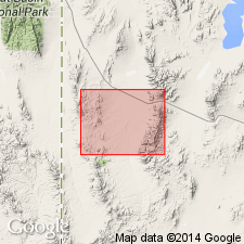
Named as the lower member of the Escalante Desert Formation. Type locality is east of Willow Creek Spring and west and south of Bucket Ranch Spring, [Beaver Co, UT]. Named for Lamerdorf Peak in sec 18, T29S, R15W, Beaver Co, UT in the Great Basin province. Divided into the lower and upper tuffs. Lower tuff is 0-76 m thick, 15 percent crystals, 7-9 percent lithic fragments, about 80 percent groundmass, and varies in color from red to lavender. Its groundmass at base is red-purple where it weathers into massive clinkery exposures; it grades upward to light purple and has bronze biotite phenocrysts. Upper tuff, 0-61 m thick, has 23 percent lithic fragments in a pale yellow-brown to lavender groundmass. Upper tuff is a vitric-lithic tuff, has plagioclase and biotite crystals as large as 3 mm. Pumice, red and purple aphanitic volcanic rocks, and minor sedimentary inclusions make up 20-25 percent of the rock. Tuffs separable on basis of darker color and abundance of lithic fragments in upper tuff. Reference section: 1) lower tuff--sec 33, T26S, R18W; 2) upper tuff northwest of Lund. Overlies tuff of Sulphur Spring. Underlies Beers Spring Member (revised) of Escalante Desert. Geologic maps. Columnar sections. Modal analyses. Cross sections. Tertiary age.
Source: GNU records (USGS DDS-6; Denver GNULEX).

- Usage in publication:
-
- Lamerdorf Tuff Member*
- Modifications:
-
- Adopted
- AAPG geologic province:
-
- Great Basin province
Summary:
Lamerdorf Tuff Member of the Escalante Desert Formation is adopted. Age is Oligocene.
Source: GNU records (USGS DDS-6; Menlo GNULEX).

- Usage in publication:
-
- Lamerdorf Tuff Member*
- Modifications:
-
- Revised
- Geochronologic dating
- AAPG geologic province:
-
- Great Basin province
Summary:
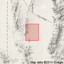
Assigned as a member of Escalante Desert Formation of Needles Range Group (raised in rank) in the Indian Peak Range and Wah Wah Mountains, southwest UT, Great Basin province. Areal extent map. Covered an area of 2,000 sq km. Had a volume of 100 cubic km (see figure). No direst evidence of its source, but possibly Pine Valley caldera. Type locality stated to be in secs 1, 2, 12, T29S, R16W, and secs 5, 7, 8, T29S, R15W, where it consists of two cooling units separated by flows of the andesite flow member. Have a total thickness of about 100 km. Have a K-Ar age of 32.3 +/-1.1 m.y., or Oligocene. Stratigraphic chart.
Source: GNU records (USGS DDS-6; Denver GNULEX).

- Usage in publication:
-
- Lamerdorf Tuff Member*
- Modifications:
-
- Mapped 1:24k
- Dominant lithology:
-
- Tuff
- AAPG geologic province:
-
- Great Basin province
Summary:
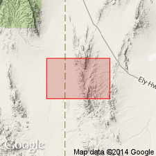
Is mapped as middle member (of 3) of Escalante Desert Formation of Needles Range Group (Oligocene) in southern part of Mountain Home Range in western Millard and Beaver Cos, southwest UT (Great Basin province) and with small outliers in eastern Lincoln Co, NV. Overlies andesite flow member (informal) and overlain by Beers Spring Member, both members of the Escalante Desert Formation. Map unit described as rhyolite ash-flow tuff with 10% plagioclase and 2% biotite phenocrysts, and generally less than 5% lithic fragments; color is highly variable, ranging from white, buff, gray, lavender, pink, orange, to red-brown; usually moderately welded, but locally a well-developed gray to black vitrophyre as much as 6 [m thick (?)].
Source: GNU records (USGS DDS-6; Denver GNULEX).
For more information, please contact Nancy Stamm, Geologic Names Committee Secretary.
Asterisk (*) indicates published by U.S. Geological Survey authors.
"No current usage" (†) implies that a name has been abandoned or has fallen into disuse. Former usage and, if known, replacement name given in parentheses ( ).
Slash (/) indicates name conflicts with nomenclatural guidelines (CSN, 1933; ACSN, 1961, 1970; NACSN, 1983, 2005, 2021). May be explained within brackets ([ ]).

