The National Geologic Map Database is migrating to a new infrastructure. We apologize for any service disruptions during this process.
|
|---|


- Usage in publication:
-
- Lamb dolomite*
- Modifications:
-
- Named
- Dominant lithology:
-
- Dolomite
- Sandstone
- AAPG geologic province:
-
- Great Basin province
Summary:
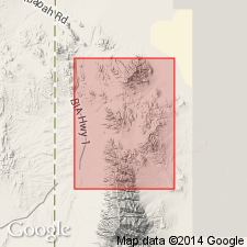
Named for exposures in Lamb Gulch on north side of Dry Canyon, Gold Hill quad, Tooele Co, UT in Great Basin province. No type locality designated. Lower third composed of thick-bedded oolitic and pisolitic dolomites, some of which are cross-bedded. A middle part is composed of thick-bedded medium gray dolomite mottled with patches of white rods. Upper 150 ft is a thinner bedded dolomite with sandy partings that grades upward into a reddish-brown weathering, lenticular sandstone. Is 1,050 ft thick. Overlies Trippe limestone (new). Underlies Hicks formation (new). Of Late Cambrian age.
Source: GNU records (USGS DDS-6; Denver GNULEX).
- Usage in publication:
-
- Lamb dolomite*
- Modifications:
-
- Areal extent
- Revised
- Overview
- AAPG geologic province:
-
- Great Basin province
Summary:
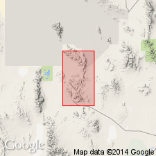
Geographically extended east from Deep Creek Mountains (Nolan, 1935) to exposures on east side of Dugway Range, Tooele Co, UT in the Great Basin province. Section 866 ft thick measured on ridge 1.2 mi northeast of Dugway Pass where Lamb overlies Fandangle limestone (new) and underlies Straight Canyon formation (new). Divisible into a lower three-fourths part of gray massive dolomite with abundant pisolite-like algae, GIRVANELLA in lower 200 ft, and an upper one fourth of pink-or red-weathering, thin-bedded, gray limestone with fine-grained, limy, pink-gray quartzite beds at top. Varies along strike due to extensive dolomitization. Age of early Late Cambrian based on identification of HYDLITHES and fragmentary fossils. Geologic map. Stratigraphic sections.
Source: GNU records (USGS DDS-6; Denver GNULEX).
For more information, please contact Nancy Stamm, Geologic Names Committee Secretary.
Asterisk (*) indicates published by U.S. Geological Survey authors.
"No current usage" (†) implies that a name has been abandoned or has fallen into disuse. Former usage and, if known, replacement name given in parentheses ( ).
Slash (/) indicates name conflicts with nomenclatural guidelines (CSN, 1933; ACSN, 1961, 1970; NACSN, 1983, 2005, 2021). May be explained within brackets ([ ]).