The National Geologic Map Database is migrating to a new infrastructure. We apologize for any service disruptions during this process.
|
|---|


- Usage in publication:
-
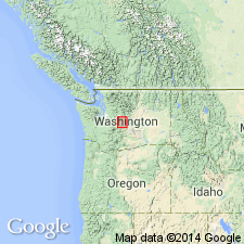
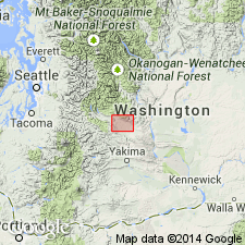
- Lakedale Drift
- Modifications:
-
- Named
- Dominant lithology:
-
- Till
- Gravel
- AAPG geologic province:
-
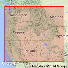
- Cascades province
Summary:
Named for community of Lakedale, upper Yakima River drainage basin, Kittitas Co, WA. Includes (ascending): Bullfrog, Ronald, Domerie, and Hyak Members (all new). [See members for designated type localities]. [Name Lakedale Drift first used by Porter (1975).] Composed of till and gravel moraines and outwash terraces mantled by loess. Overlies Kittitas Drift (new); underlies Holocene alluvium. Is Pleistocene age.
Source: GNU records (USGS DDS-6; Menlo GNULEX).
- Usage in publication:
-
- Lakedale Drift*
- Modifications:
-
- Age modified
- AAPG geologic province:
-
- Cascades province
Summary:
Freshness of depositional landforms and meagerness of weathering and of soil development identify Lakedale Drift with Fraser Glaciation of Puget Lowland. Age is approximately 0.02 to 0.01 Ma.
Source: GNU records (USGS DDS-6; Menlo GNULEX).
- Usage in publication:
-
- Lakedale Drift*
- Modifications:
-
- Age modified
- AAPG geologic province:
-
- Cascades province
Summary:
Lakedale Drift appears to span most of Wisconsin with Bullfrog Member probably being early Wisconsin on basis of relative age-dating criteria (weathering rinds, soils, loess).
Source: GNU records (USGS DDS-6; Menlo GNULEX).
For more information, please contact Nancy Stamm, Geologic Names Committee Secretary.
Asterisk (*) indicates published by U.S. Geological Survey authors.
"No current usage" (†) implies that a name has been abandoned or has fallen into disuse. Former usage and, if known, replacement name given in parentheses ( ).
Slash (/) indicates name conflicts with nomenclatural guidelines (CSN, 1933; ACSN, 1961, 1970; NACSN, 1983, 2005, 2021). May be explained within brackets ([ ]).