The National Geologic Map Database is migrating to a new infrastructure. We apologize for any service disruptions during this process.
|
|---|


- Usage in publication:
-
- Lake Trammel sandstone
- Modifications:
-
- Original reference
- Dominant lithology:
-
- Sandstone
- AAPG geologic province:
-
- Permian basin
Summary:
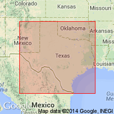
Pg. 95-96, pl. Lake Trammel sandstone. Massive, soft, red sandstone 100 feet thick. Disintegrates readily. Lies 130 feet above base of Quartermaster formation in section [along the Texas and Pacific RR from Abilene, Taylor County, to Sweetwater, Nolan County, central northern Texas]. Overlain by 2 feet of white crystalline gypsum. [Age is Permian.]
[Origin of name not stated. Notable exposures west of Aspermont, Stonewall Co., and west of Sweetwater, Nolan Co., central northern TX.]
Source: US geologic names lexicons (USGS Bull. 896, p. 1137; USGS Bull. 1200, p. 2087).
- Usage in publication:
-
- Lake Trammel sandstone
- Modifications:
-
- Not used
- AAPG geologic province:
-
- Bend arch
- Permian basin
Summary:
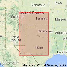
Pg. 419. Lake Trammel sandstone of Texas is stratigraphic equivalent of Whitehorse sandstone of Oklahoma and Kansas, and the horizon can be traced continuously in the 3 states.
Source: US geologic names lexicon (USGS Bull. 896, p. 1137).
- Usage in publication:
-
- Lake Trammel sandstone
- Modifications:
-
- Not used
- AAPG geologic province:
-
- Bend arch
- Permian basin
Summary:
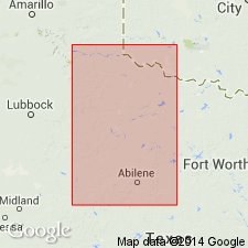
Pg. 945-946. Typical Whitehorse sandstone can be seen west of Aspermont, Stonewall County, Texas, and west of Sweetwater [Nolan County, Texas], where occur the outcrops of Wrather's Lake Trammel sandstone, now correlated with Whitehorse sandstone.
Source: US geologic names lexicon (USGS Bull. 896, p. 1137).

- Usage in publication:
-
- Lake Trammel sandstone†
- Modifications:
-
- Abandoned
- AAPG geologic province:
-
- Bend arch
- Permian basin
Summary:
Pg. 167. Lake Trammel sandstone of Wrather is part or all of Whitehorse sandstone and is discarded.
Source: US geologic names lexicon (USGS Bull. 896, p. 1137).
For more information, please contact Nancy Stamm, Geologic Names Committee Secretary.
Asterisk (*) indicates published by U.S. Geological Survey authors.
"No current usage" (†) implies that a name has been abandoned or has fallen into disuse. Former usage and, if known, replacement name given in parentheses ( ).
Slash (/) indicates name conflicts with nomenclatural guidelines (CSN, 1933; ACSN, 1961, 1970; NACSN, 1983, 2005, 2021). May be explained within brackets ([ ]).