

- Usage in publication:
-
- Lake Neosho shale member
- Modifications:
-
- Named
- Dominant lithology:
-
- Shale
- AAPG geologic province:
-
- Cherokee basin
- Forest City basin
Summary:
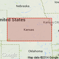
Named as middle member (of 3) of Altamont limestone of the Marmaton group in southeastern KS; named from Lake Neosho in Neosho County State Park, Neosho Co, KS in the Cherokee basin. Type section designated in the SW1/4 sec 23, T30S, R20E in Neosho Co where member is 5.5 ft thick. Other measured sections in Linn Co (Forest City basin) where it is 2 ft thick, and in Labette Co (Cherokee basin) where it is 3 ft thick. Occurs from the southern border of KS to southern IA. The few ft of shale nearly everywhere bears oblong, irregularly-shaped phosphatic concretions; commonly some carbonaceous material present, and in northern area coal occurs near the middle. In southern area, lower part of Lake Neosho shale member is quite black. In KS, thickness ranges from about 2.5 to 6 ft. Overlies Tina limestone member and underlies Worland limestone member, both of Altamont limestone of Marmaton group. Contains vertebrate fossils. Cross section. Of Pennsylvanian, Des Moines age.
Source: GNU records (USGS DDS-6; Denver GNULEX).
For more information, please contact Nancy Stamm, Geologic Names Committee Secretary.
Asterisk (*) indicates published by U.S. Geological Survey authors.
"No current usage" (†) implies that a name has been abandoned or has fallen into disuse. Former usage and, if known, replacement name given in parentheses ( ).
Slash (/) indicates name conflicts with nomenclatural guidelines (CSN, 1933; ACSN, 1961, 1970; NACSN, 1983, 2005, 2021). May be explained within brackets ([ ]).