- Usage in publication:
-
- Lake Hopatcong Intrusive Suite*
- Modifications:
-
- Named
- Dominant lithology:
-
- Granite
- AAPG geologic province:
-
- Piedmont-Blue Ridge province
Summary:
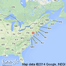
Rocks called Type III Byram gneiss by Hague and others (1956), are here named Lake Hopatcong Intrusive Suite. Occurs throughout the NJ Highlands in large sheets emplaced in the Grenville Orogeny similar to quartz syenites in the Adirondacks in NY. Consists of medium to medium coarse grained, buff to greenish-gray, gneissoid to indistinctly foliated, quartz-poor, granitic rock characterized by clinopyroxene and mesoperthite or microantiperthite. Contains titanite and trace amounts of sulfide. Relation to the Byram Intrusive Suite is not known. They differ in chemistry, mineralogy, and petrography, and are clearly two entities.
Source: GNU records (USGS DDS-6; Reston GNULEX).

- Usage in publication:
-
- Lake Hopatcong Intrusive Suite
- Modifications:
-
- Areal extent
- Overview
- AAPG geologic province:
-
- Appalachian basin
Summary:
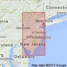
Rocks of the Lake Hopatcong Intrusive Suite are found throughout the Highlands, but primarily west of the Green Pond Mountain region. They are most abundant in the Wawayanda, Franklin, Dover, Stanhope, Hackettstown, and High Bridge quads. Consist mainly of granite, quartz syenite, syenite, and alaskite. Recent geochemical work suggests that the Byram and Hopatcong Suites do not actually define two distinct and separate intrusive suites as originally suggested. Author interprets the Byram and Lake Hopatcong rocks to be cogenetic and comagmatic. Principal differences between them are in the mineralogy and the slightly more evolved composition of the Byram. The Lake Hopatcong rocks formed under relatively anhydrous conditions, which favored development of clinopyroxene and suppressed the formation of pegmatites, more common in the Byram.
Source: GNU records (USGS DDS-6; Reston GNULEX).

- Usage in publication:
-
- Lake Hopatcong Intrusive Suite*
- Modifications:
-
- Revised
- AAPG geologic province:
-
- Appalachian basin
- Piedmont-Blue Ridge province
Summary:
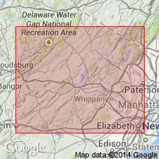
Middle Proterozoic Lake Hopatcong and Byram Intrusive Suites assigned to Vernon Supersuite (new), named for Vernon Township, Sussex Co., northern NJ. Byram consists of hornblende granite, microperthite alaskite, hornblende quartz syenite, syenite, hornblende granite, hornblende monzonite, and quartz monzonite. Lake Hopatcong rocks include granite, quartz monzonite, monzonite, granodiorite, and quartz monzogranodiorite. Byram and Hopatcong are cogenetic and comagmatic, an interpretation supported by field relationships and geochemical relationships.
Source: GNU records (USGS DDS-6; Reston GNULEX).
For more information, please contact Nancy Stamm, Geologic Names Committee Secretary.
Asterisk (*) indicates published by U.S. Geological Survey authors.
"No current usage" (†) implies that a name has been abandoned or has fallen into disuse. Former usage and, if known, replacement name given in parentheses ( ).
Slash (/) indicates name conflicts with nomenclatural guidelines (CSN, 1933; ACSN, 1961, 1970; NACSN, 1983, 2005, 2021). May be explained within brackets ([ ]).

