

- Usage in publication:
-
- Lake Bonneville Group*
- Modifications:
-
- Revised
- AAPG geologic province:
-
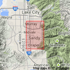
- Wasatch uplift
Summary:
Revised from a group that included (ascending) Alpine, Bonneville, and Provo Formations, to a group divided into the Little Cottonwood and Draper Formations (both new) separated by the Graniteville Soil (new). Little Cottonwood includes the Alpine, Bonneville, and Provo as members. Overlies Dimple Dell Soil (new). Is overlain by the Midvale Soil (new). Geologic map. Correlation chart. Revision deemed necessary because Alpine, Bonneville, and Provo: were not defined in terms of lithology; had no type localities; and all were primarily related to inferred lake history. Reference localities designated for the Alpine, Bonneville, and Provo. The Little Cottonwood records at least 3 major lake cycles. The Draper records 3 later lake cycles. Of late Pleistocene age.
Source: GNU records (USGS DDS-6; Denver GNULEX).
- Usage in publication:
-
- Lake Bonneville Group*
- Modifications:
-
- Revised
- AAPG geologic province:
-
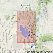
- Wasatch uplift
Summary:
A new formation of Holocene age named Ridgeland Formation, upper formation of Lake Bonneville Group. Type section of Ridgeland measured on west bank of Ridgeland Canal, Salt Lake Co, UT on Wasatch uplift where it overlies Midvale Soil and underlies Decker Soil (newly named).
Source: GNU records (USGS DDS-6; Denver GNULEX).
For more information, please contact Nancy Stamm, Geologic Names Committee Secretary.
Asterisk (*) indicates published by U.S. Geological Survey authors.
"No current usage" (†) implies that a name has been abandoned or has fallen into disuse. Former usage and, if known, replacement name given in parentheses ( ).
Slash (/) indicates name conflicts with nomenclatural guidelines (CSN, 1933; ACSN, 1961, 1970; NACSN, 1983, 2005, 2021). May be explained within brackets ([ ]).