- Usage in publication:
-
- Lagonda sandstones and shales
- Modifications:
-
- Named
- Dominant lithology:
-
- Shale
- Sandstone
- AAPG geologic province:
-
- Ozark uplift
Summary:
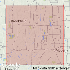
Named as uppermost division of the Lower Coal Measures; named from the Lagonda post office, Chariton Co, MO on the Ozark uplift. No type locality designated. Area of study for this report is in portions of Macon, Randolph, and Chariton Cos, MO. Consists of sandstones and shales varying from 18 to 50 ft in thickness; undergoes sudden transition from shale to soft micaceous sandstone. Towards the east, is usually about 18-20 ft thick and more or less shaly. Has casts and stems of sigillarids, calamites, fern leaves. Towards the west, increases noticeably in thickness and has a greater tendency to become indurated; on the Chariton River, at Hammack's mill, is 43+ ft thick with two beds of soft sandstone of 11 and 8 ft respectively separated by 24 ft of shale. Overlies the Bevier coal. Of Carboniferous age.
Source: GNU records (USGS DDS-6; Denver GNULEX).
For more information, please contact Nancy Stamm, Geologic Names Committee Secretary.
Asterisk (*) indicates published by U.S. Geological Survey authors.
"No current usage" (†) implies that a name has been abandoned or has fallen into disuse. Former usage and, if known, replacement name given in parentheses ( ).
Slash (/) indicates name conflicts with nomenclatural guidelines (CSN, 1933; ACSN, 1961, 1970; NACSN, 1983, 2005, 2021). May be explained within brackets ([ ]).

