- Usage in publication:
-
- Ladera Sandstone*
- Modifications:
-
- Named
- Biostratigraphic dating
- Dominant lithology:
-
- Sandstone
- Siltstone
- AAPG geologic province:
-
- California Coast Ranges province
Summary:
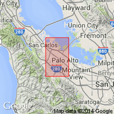
Ladera Sandstone is named for Ladera School in the Ladera district, San Mateo Co, CA. Type area is the part of the map area in the southwestern (western part of T6S R3W) Palo Alto 7.5' quad east of the San Andreas fault. Occurs in the Santa Cruz Mountains (and foothills) in the southwestern Palo Alto 7.5' quad. Consists predominantly of sandstone with some siltstone and porcellaneous shale. Thickness ranges from 1000 to 1500 ft. Underlain by the Page Mill Basalt; conformably overlain by the Monterey Shale. Age is middle and late Miocene based on fossils [foraminifers, fish scales, mollusks, vertebrates].
Source: GNU records (USGS DDS-6; Menlo GNULEX).
For more information, please contact Nancy Stamm, Geologic Names Committee Secretary.
Asterisk (*) indicates published by U.S. Geological Survey authors.
"No current usage" (†) implies that a name has been abandoned or has fallen into disuse. Former usage and, if known, replacement name given in parentheses ( ).
Slash (/) indicates name conflicts with nomenclatural guidelines (CSN, 1933; ACSN, 1961, 1970; NACSN, 1983, 2005, 2021). May be explained within brackets ([ ]).

