- Usage in publication:
-
- Lacon Formation
- Modifications:
-
- Named
- Dominant lithology:
-
- Mud
- AAPG geologic province:
-
- Illinois basin
Summary:
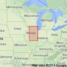
Lacon Formation is here named for town of Lacon in Marshall Co., north-central IL. Deposits at the type section 2 mi northwest of Lacon were first described by Ekblaw (1932). Unit consists of deposits that are dominantly gravity-initiated, such as landslides, slumps, slips, rock falls, and mudflows. Only those deposits that are surficial or covered by slopewash are included in the Lacon Formation. Ground water is the lubricating agent for most of the movements that formed the Lacon. Deposits consist of disturbed masses or broken fragments of locally derived rocks. Deposits vary from those in which the source rocks are mixed, such as talus, to those resulting from mass movements that only slightly disturbed the original materials. At some places the deposits grade into or intertongue with sediments in the Cahokia Alluvium and the Peyton Colluvium, but the formations are separated by vertical cutoff. The Lacon is Pleistocene (Wisconsinan) and Holocene in age. The deposits may still continue to accumulate.
Source: GNU records (USGS DDS-6; Reston GNULEX).

- Usage in publication:
-
- Lacon Formation
- Modifications:
-
- Overview
- AAPG geologic province:
-
- Illinois basin
Summary:
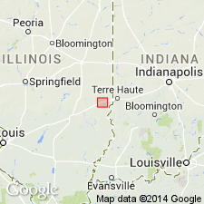
Lacon Formation is a surficial lithostratigraphic unit composed of sediment flow and landslide material. Because of the genetic definition of the Lacon, its regional composition varies. Adjacent to the Martinsville site, small earth slumps were noted along Bluegrass Creek where the stream impinged on the valley wall. The largest slump noted in 1989, but since removed by creek erosion, involved 5,000 cubic ft of debris composed of reworked Vandalia Till Member of Glasford Formation and overlying upland units.
Source: GNU records (USGS DDS-6; Reston GNULEX).
For more information, please contact Nancy Stamm, Geologic Names Committee Secretary.
Asterisk (*) indicates published by U.S. Geological Survey authors.
"No current usage" (†) implies that a name has been abandoned or has fallen into disuse. Former usage and, if known, replacement name given in parentheses ( ).
Slash (/) indicates name conflicts with nomenclatural guidelines (CSN, 1933; ACSN, 1961, 1970; NACSN, 1983, 2005, 2021). May be explained within brackets ([ ]).

