- Usage in publication:
-
- Labette shales
- Modifications:
-
- Contact revised
- AAPG geologic province:
-
- Chautauqua platform
Summary:
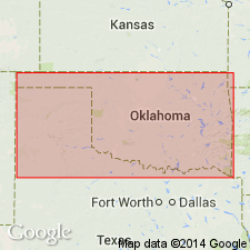
Lower contact revised in that Labette shales of the Tulsa group overlie the newly named Claremore shales of the Tulsa. Underlies Oologah formation of Tulsa. Range between 30 and 80 ft thick. Form topographic depression. Has a persistent, buff, fine-grained sandstone in upper part. Extends south from KS into OK as far as the latitude of Nowata, KS on the Chautauqua platform. Stratigraphic chart. Of Pennsylvanian age.
Source: GNU records (USGS DDS-6; Denver GNULEX).

- Usage in publication:
-
- Labette Shale
- Modifications:
-
- Contact revised
- AAPG geologic province:
-
- Iowa shelf
Summary:
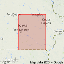
Lower contact revised in that Labette Shale, one of 11 formations of Marmaton Group of Des Moines Supergroup, overlies the newly named Stephens Forest Formation of the Marmaton. Labette underlies the Pawnee Formation of the Marmaton. Nomenclature chart. Of Pennsylvanian, Desmoinesian age.
Source: GNU records (USGS DDS-6; Denver GNULEX).
For more information, please contact Nancy Stamm, Geologic Names Committee Secretary.
Asterisk (*) indicates published by U.S. Geological Survey authors.
"No current usage" (†) implies that a name has been abandoned or has fallen into disuse. Former usage and, if known, replacement name given in parentheses ( ).
Slash (/) indicates name conflicts with nomenclatural guidelines (CSN, 1933; ACSN, 1961, 1970; NACSN, 1983, 2005, 2021). May be explained within brackets ([ ]).

