- Usage in publication:
-
- LaSalle limestone*
- Modifications:
-
- Original reference
- Dominant lithology:
-
- Limestone
- Shale
- AAPG geologic province:
-
- Wisconsin arch
Summary:
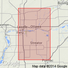
Pg. 128-134. LaSalle limestone. Blue-gray to light cream-colored limestone, 20 to 30 feet thick, forming topmost part of Coal Measures where it outcrops. Upper limestone bed is 5 to 15 feet thick, lower limestone bed is 6 to 16 feet thick, the two limestones being separated by 8 inches to 3.5 feet of calcareous shale. At LaSalle is about 400 feet above base of Coal Measures. Age is Pennsylvanian.
Named from LaSalle Co., northeastern IL.
Source: US geologic names lexicon (USGS Bull. 896, p. 1152-1153).
- Usage in publication:
-
- LaSalle limestone*
- Modifications:
-
- Principal reference
- AAPG geologic province:
-
- Wisconsin arch
Summary:
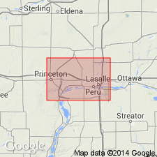
Pg. 64-69. LaSalle limestone. Described typical LaSalle limestone of LaSalle, northeastern Illinois. He stated: base of LaSalle limestone is arbitrarily taken as top of a black fissile shale about 1 foot thick, commonly associated with a coal seam 1 inch thick. This black shale forms floor of quarry of LaSalle Cement Company, east of LaSalle. The limestone terminates below 20 feet of red concretionary shale. Typical LaSalle limestone is found only on west flank of anticline in strip not much over 1 mile wide. At cement quarries it is a succession of 30+/- feet of limestone varying from white crinoidal and oolitic strata to brecciated nodular dense thin-bedded layers associated with argillaceous material. Is highly calcareous but contains variable amounts of argillaceous material. West of Vermilion Rivers the LaSalle becomes more argillaceous, even essentially shale. Age is Pennsylvanian.
Source: US geologic names lexicon (USGS Bull. 896, p. 1152-1153).
- Usage in publication:
-
- LaSalle limestone*
- Modifications:
-
- Areal extent
- AAPG geologic province:
-
- Illinois basin
Summary:
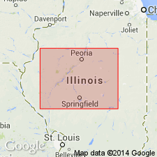
Pg. 36, 38. LaSalle limestone. Applied this name in northern part of district 4, central western Illinois (including Peoria, Fulton, Tazewell, Logan, Menard, Sangamon, Macon, De Witt, McLean, Mason, Cass, and Schuyler Counties), where he stated it is 180+/- feet above coal No. 7 and 25+/- feet above Spring Valley limestone, which he placed 10 to 15 feet above coal No. 8. Age is Pennsylvanian.
Source: US geologic names lexicon (USGS Bull. 896, p. 1152-1153).
- Usage in publication:
-
- LaSalle limestone
- Modifications:
-
- Areal extent
- AAPG geologic province:
-
- Illinois basin
Summary:
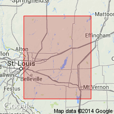
LaSalle limestone (called Shoal Creek limestone by Wallace Lee in USGS Mount Olive-Gillespie folio, no. 220, 1926) lies 52+/- feet above Shoal Creek limestone (called Carlinville limestone by Lee). Age is Pennsylvanian.
Source: US geologic names lexicon (USGS Bull. 896, p. 1152-1153).
- Usage in publication:
-
- LaSalle limestone
- Modifications:
-
- Areal extent
- AAPG geologic province:
-
- Illinois basin
Summary:
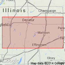
Pg. 129-138. LaSalle limestone. In Clark County, southeastern Illinois, the LaSalle limestone has been called Livingston, Marshall, Casey, and Quarry Creek limestone. It also embraces the 16 to 20-foot limestone in Vermilion County that has been called Fairmount limestone, also the Baldwinsville limestone of Edgar County, and the Ryans Ford limestone of Coles and Cumberland Counties. Age is Pennsylvanian.
Source: US geologic names lexicon (USGS Bull. 896, p. 1152-1153).
- Usage in publication:
-
- LaSalle limestone*
- Modifications:
-
- Principal reference
- Revised
- AAPG geologic province:
-
- Wisconsin arch
- Illinois basin
Summary:
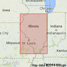
Pg. 12, pl. 1. LaSalle Limestone of McLeansboro group. Included in LaSalle cyclothem, McLeansboro group. Age is Pennsylvanian. Type locality stated.
Type locality: in sec. 14, T. 33 N., R. 1 E., LaSalle Co., northeastern IL.
Source: US geologic names lexicon (USGS Bull. 1200, p. 2111).
- Usage in publication:
-
- LaSalle limestone member
- Modifications:
-
- Revised
- AAPG geologic province:
-
- Illinois basin
Summary:
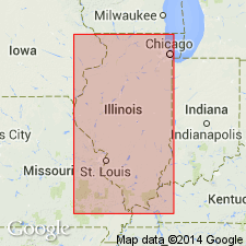
Pg. 39, 50 (table 1), pl. 1. LaSalle limestone member of Bond formation of McLeansboro group. Reallocated to member status in Bond formation (new). LaSalle and Hall limestone members are only named units in formation in northern Illinois. Age is Late Pennsylvanian (Missourian). Presentation of new rock-stratigraphic classification of Pennsylvanian strata in Illinois.
Source: Publication; US geologic names lexicon (USGS Bull. 1200, p. 2111).
For more information, please contact Nancy Stamm, Geologic Names Committee Secretary.
Asterisk (*) indicates published by U.S. Geological Survey authors.
"No current usage" (†) implies that a name has been abandoned or has fallen into disuse. Former usage and, if known, replacement name given in parentheses ( ).
Slash (/) indicates name conflicts with nomenclatural guidelines (CSN, 1933; ACSN, 1961, 1970; NACSN, 1983, 2005, 2021). May be explained within brackets ([ ]).

