

- Usage in publication:
-
- La Belle clay
- Modifications:
-
- Named
- Dominant lithology:
-
- Clay
- AAPG geologic province:
-
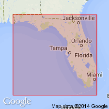
- Florida platform
Summary:
La Belle Clay [Member] of Tamiami Formation is lowest unit of formation in Caloosahatchee area. Consists of greenish-gray, blue-gray, and olive-green clays. Underlies Alva Clay Member (new). Laterally merges into unnamed quartz sand. Age is late Miocene.
Source: GNU records (USGS DDS-6; Reston GNULEX).
- Usage in publication:
-
- La Belle Formation
- Modifications:
-
- Revised
- AAPG geologic province:
-
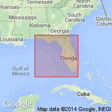
- Florida platform
Summary:
La Belle Formation is replacement for lower Tamiami Formation. Consists of clastic sediments and impure limestone. Clays not overconsolidated, nonphosphatic to highly phosphatic, usually as black pebbles, matrix gray, green, and tan interfingering with gravel eastward. Age is late Miocene.
Source: GNU records (USGS DDS-6; Reston GNULEX).
For more information, please contact Nancy Stamm, Geologic Names Committee Secretary.
Asterisk (*) indicates published by U.S. Geological Survey authors.
"No current usage" (†) implies that a name has been abandoned or has fallen into disuse. Former usage and, if known, replacement name given in parentheses ( ).
Slash (/) indicates name conflicts with nomenclatural guidelines (CSN, 1933; ACSN, 1961, 1970; NACSN, 1983, 2005, 2021). May be explained within brackets ([ ]).