

- Usage in publication:
-
- Kuskulana shales*
- Modifications:
-
- Named
- Dominant lithology:
-
- Shale
- Slate
- Schist
- AAPG geologic province:
-
- Alaska Southern region
Summary:
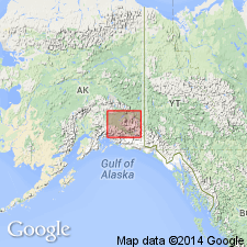
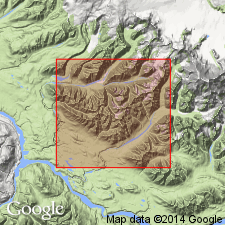
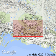
Occurs along valley of Kuskulana River and its tributaries. Shown on geologic sketch map of Wrangell Mountains and adjacent area undivided with McCarthy Creek shale (new). Consists of hard, ringing, highly siliceous grits, shales, and slates, and some schists, all of which are much fractured and seamed in three or more directions by veinlets of quartz. On second creek entering Kuskulana fossil was found which T.W. Stanton identified as Triassic MONOTIS. Correlation table shows age as Triassic.
Source: GNU records (USGS DDS-6; Menlo GNULEX).
- Usage in publication:
-
- Kuskulana formation*
- Modifications:
-
- Revised
- Redescribed
- Age modified
- Biostratigraphic dating
- Dominant lithology:
-
- Shale
- Limestone
- AAPG geologic province:
-
- Alaska Southern region
Summary:
Kuskulana shale (Rohn, 1900) redescribed as Kuskulana formation. Revised to include strata equivalent to Nizina limestone and McCarthy shale of Nizina district. Shown on geologic map of Kotsina-Kuskulana district of Copper River region. Age is Late Triassic based on fossils identified by T.W. Stanton. List of fossils included in report.
Source: GNU records (USGS DDS-6; Menlo GNULEX).
- Usage in publication:
-
- Kuskulana formation*
- Modifications:
-
- Not used
- AAPG geologic province:
-
- Alaska Southern region
Summary:
Kuskulana formation (Moffit and Mertie, 1923) was used as mapping unit that was too inclusive. Kuskulana formation is not used on geologic map of Chitina Valley accompanying this report. Nizina limestone and McCarthy shale are used.
Source: GNU records (USGS DDS-6; Menlo GNULEX).
For more information, please contact Nancy Stamm, Geologic Names Committee Secretary.
Asterisk (*) indicates published by U.S. Geological Survey authors.
"No current usage" (†) implies that a name has been abandoned or has fallen into disuse. Former usage and, if known, replacement name given in parentheses ( ).
Slash (/) indicates name conflicts with nomenclatural guidelines (CSN, 1933; ACSN, 1961, 1970; NACSN, 1983, 2005, 2021). May be explained within brackets ([ ]).