

- Usage in publication:
-
- Kuskokwim group*
- Modifications:
-
- Named
- Biostratigraphic dating
- Dominant lithology:
-
- Graywacke
- Shale
- AAPG geologic province:
-
- Alaska West-Central region
- Alaska Southwestern region
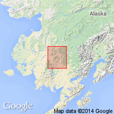
Summary:
Named for Kuskokwim River, central Kuskokwim region, southwestern AK. [Type locality not designated.] Best exposures are in cut-banks of Kuskokwim River downstream from Sleetmute as far as Russian Mission. Unit underlies 80 % of area of region and may be traced far outside the area. Consists of graywacke and interbedded shale, all of dark color with breccia and conglomerate facies of graywacke. Rocks altered to hornfels in contact metamorphic zones adjacent to stocks. Is between 40,000 and 65,000 ft thick. Overlies the Gemuk group (new) and in some areas the Holitna group (new). Unconformably underlies the Iditarod basalt (new), Holokuk basalt (new), and Waterboot basalt (new). Age is Early(?) and Late Cretaceous based on fossils identified by T.W. Stanton, R.W. Brown and others. (List of fossils and localities included in report).
Source: GNU records (USGS DDS-6; Menlo GNULEX).
- Usage in publication:
-
- Kuskokwim group*
- Modifications:
-
- Areal extent
- Age modified
- AAPG geologic province:
-
- Alaska Southwestern region
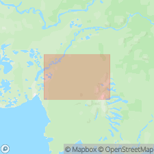
Summary:
Unit is geographically extended into the Bethel quad. Age is late Early Cretaceous (Albian) and early and middle Late Cretaceous (Cenomanian and Coniacian) based on fossils collected from basal part and upper part respectively.
Source: GNU records (USGS DDS-6; Menlo GNULEX).
- Usage in publication:
-
- Kuskokwim Group*
- Modifications:
-
- Age modified
- AAPG geologic province:
-
- Alaska West-Central region
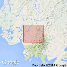
Summary:
Age of the Kuskokwim Group is revised from Early and Late Cretaceous to: Late Cretaceous.
Source: GNU records (USGS DDS-6; Menlo GNULEX).
- Usage in publication:
-
- Kuskokwim Group*
- Modifications:
-
- Areal extent
- AAPG geologic province:
-
- Alaska West-Central region
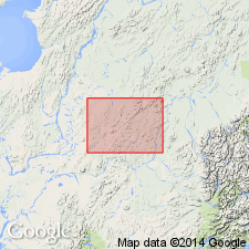
Summary:
Kuskokwim Group is geographically extended into the northern and central parts of the map area. Age is Late Cretaceous.
Source: GNU records (USGS DDS-6; Menlo GNULEX).
For more information, please contact Nancy Stamm, Geologic Names Committee Secretary.
Asterisk (*) indicates published by U.S. Geological Survey authors.
"No current usage" (†) implies that a name has been abandoned or has fallen into disuse. Former usage and, if known, replacement name given in parentheses ( ).
Slash (/) indicates name conflicts with nomenclatural guidelines (CSN, 1933; ACSN, 1961, 1970; NACSN, 1983, 2005, 2021). May be explained within brackets ([ ]).