

- Usage in publication:
-
- Kushtaka formation*
- Modifications:
-
- Named
- Biostratigraphic dating
- Dominant lithology:
-
- Shale
- Sandstone
- Coal
- AAPG geologic province:
-
- Alaska Southern region
Summary:
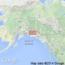
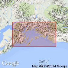
Named for exposures in valley of Bering River and on shores of Lake Kushtaka, Controller Bay region, southern AK. Distribution shown on geologic sketch map of Controller Bay region. Consists of shale, arkosic sandstone, and coal seams. Is probably several 1000 ft thick. Upper and lower boundaries taken at highest and lowest coal in region. Distinguished from Katalla formation (new) (which lies in adjacent belt to south) by presence of coal seams, predominance of sandstone over shale and coarseness of sedimentary deposits. Probably overlies Katalla formation. Fossils identified by F.H. Knowlton indicate Oligocene or Miocene age. [later studies modify age to Eocene and Oligocene(?).]
Source: GNU records (USGS DDS-6; Menlo GNULEX).
- Usage in publication:
-
- Kushtaka Formation†
- Modifications:
-
- Abandoned
- AAPG geologic province:
-
- Alaska Southern region
Summary:
Kushtaka Formation of Martin (1905) is abandoned in favor of equivalent Kulthieth Formation which is extended into Bering River area. Younger Kultieth Formation name is given preference due to its more widespread extent.
Source: GNU records (USGS DDS-6; Menlo GNULEX).
For more information, please contact Nancy Stamm, Geologic Names Committee Secretary.
Asterisk (*) indicates published by U.S. Geological Survey authors.
"No current usage" (†) implies that a name has been abandoned or has fallen into disuse. Former usage and, if known, replacement name given in parentheses ( ).
Slash (/) indicates name conflicts with nomenclatural guidelines (CSN, 1933; ACSN, 1961, 1970; NACSN, 1983, 2005, 2021). May be explained within brackets ([ ]).