- Usage in publication:
-
- Kosciusko sandstone member*
- Modifications:
-
- Original reference
- Dominant lithology:
-
- Sand
- AAPG geologic province:
-
- Mid-Gulf Coast basin
Summary:
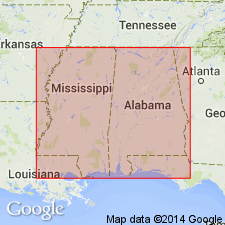
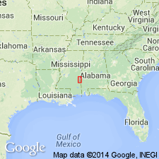
Pg. 133-135. Kosciusko sandstone member of Lisbon formation. Designation proposed for the ledges of saccharoidal to quartzitic sandstone exposed in vicinity of Kosciusko, the county seat of Attala County, Mississippi, and for unconsolidated sands of same age in Mississippi. Replaces preoccupied name "Decatur sand." Is middle member of Lisbon formation and younger than Winona sand member of the Lisbon. [Age is middle Eocene.]
Source: US geologic names lexicon (USGS Bull. 896, p. 1120).
- Usage in publication:
-
- Kosciusko formation
- Modifications:
-
- Revised
- AAPG geologic province:
-
- Mid-Gulf Coast basin
Thomas, E.P., 1942, The Claiborne: Mississippi Geological Survey Bulletin, no. 48, 96 p.
Summary:
Pg. 40-47. Kosciusko formation. Rank raised to formation. Redefined to include all beds above Zilpha shale and below Wautubbee formation. Formation is heterogeneous highly lenticular nonmarine section in which sand and shale are dominant facies. Basal interval of 50 to 200 feet typically composed of massive to highly cross-bedded sands colored red, brown, yellow, purple, pink, violet, gray, and white on outcrop. Shales increase in abundance above basal sand until they usually predominate over sand in upper part of section. Thickness increases along strike from 85 feet at Alabama line to maximum of 400 feet in Attala, Holmes, and Carroll Counties, Mississippi. [Age is Eocene.]
Source: US geologic names lexicon (USGS Bull. 1200, p. 2053-2054).
- Usage in publication:
-
- Kosciusko sand*
- Modifications:
-
- Revised
- AAPG geologic province:
-
- Mid-Gulf Coast basin
Summary:
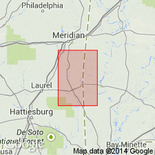
Mapped as Kosciusko sand in Claiborne group. [Age is Eocene.]
Source: US geologic names lexicon (USGS Bull. 1200, p. 2053-2054).
- Usage in publication:
-
- Kosciusko sand
- Modifications:
-
- Areal extent
- AAPG geologic province:
-
- Mid-Gulf Coast basin
Summary:
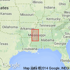
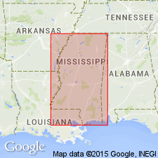
Pg. 45-48. Kosciusko sand crops out in belt 6 to perhaps more than 20 miles wide in northern Mississippi, western or upper boundary flanking alluvial plain in Carroll, Grenada, Tallahatchie, and Panola Counties. Sand extends beneath plain, except for small area adjacent to Bluff Hills where alluvium rests on Zilpha clay. In Carroll County, the massive sand overlaps Zilpha clay and part of Winona sand; farther north, there is evidence that it rests on Basic City shale member of Tallahatta and that near TN line, it may overlap Meridian sand member of Tallahatta. Thickness of exposed section about 100 ft in Carroll Co.
Source: GNU records (USGS DDS-6; Reston GNULEX).
- Usage in publication:
-
- Kosciusko Formation
- Modifications:
-
- Revised
- AAPG geologic province:
-
- Mid-Gulf Coast basin
Summary:
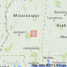
Dobys Bluff Tongue of Kosciusko Formation is here named in Clarke Co., MS. Unit is composed of gray, reddish-brown-weathering sand and carbonaceous clay. Thickness is approximately 20 ft. Dobys Bluff is lenticular and fossiliferous, and interpreted as a marine destructional shelf facies of the Kosciusko delta system. Overlies nonfossiliferous sand of the Kosciusko Formation and unconformably underlies the Archusa Marl Member of the Cook Mountain Formation. Equivalent to Stone City Beds of the Sparta Formation in TX. Age is Eocene.
Source: GNU records (USGS DDS-6; Reston GNULEX).
- Usage in publication:
-
- Kosciusko Formation
- Modifications:
-
- Areal extent
- AAPG geologic province:
-
- Mid-Gulf Coast basin
Summary:
Dobys Bluff Tongue does not occur in Newton Co. Instead, the upper Kosciusko is composed of carbonaceous, nonfossiliferous shale. Upper portions are characterized by thin to medium bedded, tabular cross-beds, truncated by thin shale beds composed of light to dark gray clayey silt. Upper shaly portion has a maximum thickness of 88 ft. Disconformably underlies the Potterchitto Member of the Cook Mountain Formation. Lower portions of the Kosciusko are characterized by very coarse- to very fine grained quartz sand. Near the base, the unit is characterized by very coarse- to medium-grained, well-sorted quartz sand, with increasing percentages of glauconite toward the lower gradational contact with the Zilpha Formation. Thickness of the lower sands ranges from 56 ft to 160 ft. Surface exposures contain occurrences of petrified wood and well-lithified siltstone in the lower portion. Thick sequence of nonmarine sands and shales of the Kosciusko indicates constructive deltaic deposition. Measured section. Geologic map. Stratigraphic column.
Source: GNU records (USGS DDS-6; Reston GNULEX).
- Usage in publication:
-
- Kosciusko Formation
- Modifications:
-
- Overview
- AAPG geologic province:
-
- Mid-Gulf Coast basin
Summary:
Kosciusko Formation of Claiborne Group. In updip (north) area, overlies Zilpha Shale and unconformably underlies Cook Mountain Formation (both in Claiborne). In downdip (south) area, underlies Cook Mountain or CAMERINA limestone, and overlies Cane River Formation (all in Claiborne). Includes Dobys Bluff Tongue, notably in downdip (south) area. Age is middle Eocene (Lutetian); nannofossil zones NP15 to NP16, planktic foram zones P11 to P12.
Source: Publication.
For more information, please contact Nancy Stamm, Geologic Names Committee Secretary.
Asterisk (*) indicates published by U.S. Geological Survey authors.
"No current usage" (†) implies that a name has been abandoned or has fallen into disuse. Former usage and, if known, replacement name given in parentheses ( ).
Slash (/) indicates name conflicts with nomenclatural guidelines (CSN, 1933; ACSN, 1961, 1970; NACSN, 1983, 2005, 2021). May be explained within brackets ([ ]).

