- Usage in publication:
-
- Komatke Granite*
- Modifications:
-
- Named
- Dominant lithology:
-
- Granite
- AAPG geologic province:
-
- Southwestern Basin-and-Range region
Summary:
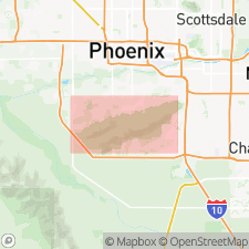
Named for village of Komatke, Maricopa Co, AZ in the Southwestern Basin-and-Range region. Type locality is at water tank on southwest end of Main Ridge, sec 33, T1S, R2E. Occurs along southwest ends of Alta Ridge, Main Ridge, and Southern Foothills. Is a gray granite with pinkish tint due to abundance of potassium feldspar. Is coarse grained and porphyritic with approximately 10 to 30 percent phenocrysts of potassium feldspar up to 4 cm long. Quartz and plagioclase each constitute 20 to 35 percent of granite, and biotite varies between 5 and 15 percent. Commonly has well-developed crystalloblastic foliation. Of Middle Proterozoic (1.6-1.7 b.y.) age. Intrudes Estrella Gneiss (new). Intruded by Dobbins Alaskite (new). Geologic map.
Source: GNU records (USGS DDS-6; Denver GNULEX).

- Usage in publication:
-
- Komatke Granite*
- Modifications:
-
- Age modified
- AAPG geologic province:
-
- Southwestern Basin-and-Range region
Summary:
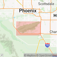
Age modified from Middle Proterozoic to Early Proterozoic, (using the data of Reynolds, 1985) in the Southwestern Basin-and-Range region of central AZ.
Source: GNU records (USGS DDS-6; Denver GNULEX).
For more information, please contact Nancy Stamm, Geologic Names Committee Secretary.
Asterisk (*) indicates published by U.S. Geological Survey authors.
"No current usage" (†) implies that a name has been abandoned or has fallen into disuse. Former usage and, if known, replacement name given in parentheses ( ).
Slash (/) indicates name conflicts with nomenclatural guidelines (CSN, 1933; ACSN, 1961, 1970; NACSN, 1983, 2005, 2021). May be explained within brackets ([ ]).

