

- Usage in publication:
-
- Kolmakof series*
- Modifications:
-
- Named
- Dominant lithology:
-
- Volcanics
- Tuff
- Limestone
- Arkose
- AAPG geologic province:
-
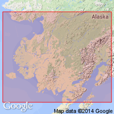
- Alaska Southwestern region
Summary:
Crops out frequently along right bank of Kuskokwim River between Kolmakof and beginning of low silt plain just above entrance to Yukon portage route at Kalchagamut, southwestern AK. Consists of volcanic rocks of various types changing laterally into or interbedded with volcanic tuffs, shales, impure limestones, and fine-grained arkoses. Contains frequent plant remains. Cut through by great masses of intrusive rocks. Is provisionally correlated with Holiknuk series (new) and referred to Cretaceous age.
Source: GNU records (USGS DDS-6; Menlo GNULEX).
- Usage in publication:
-
- "Kolmakof series"†
- Modifications:
-
- Abandoned
- AAPG geologic province:
-
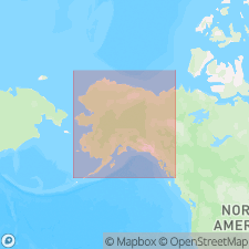
- Alaska Southwestern region
Martin, G.C., 1926, Mesozoic stratigraphy of Alaska: U.S. Geological Survey Bulletin, 776, 493 p.
Summary:
"Kolmakof series" of Spurr (1900) is believed to include three or four distinct units: (1) sandstone and shale of Late Cretaceous age which are western extension of Spurr's (1900) "Holiknuk series" [also abandoned in this report]; (2) associated igneous rocks which are dikes and sills; (3) late Paleozoic or early Mesozoic tuff (and lava?) associated with limestone of late Carboniferous age; (4) possibly late Tertiary volcanic rocks like those on lower Yukon River. [Thus series is abandoned.]
Source: GNU records (USGS DDS-6; Menlo GNULEX).
For more information, please contact Nancy Stamm, Geologic Names Committee Secretary.
Asterisk (*) indicates published by U.S. Geological Survey authors.
"No current usage" (†) implies that a name has been abandoned or has fallen into disuse. Former usage and, if known, replacement name given in parentheses ( ).
Slash (/) indicates name conflicts with nomenclatural guidelines (CSN, 1933; ACSN, 1961, 1970; NACSN, 1983, 2005, 2021). May be explained within brackets ([ ]).