- Usage in publication:
-
- Koko volcanics*
- Modifications:
-
- Named
- Dominant lithology:
-
- Volcanics
- AAPG geologic province:
-
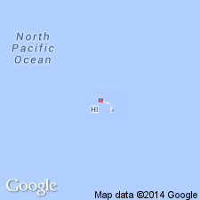
- Oahu
Summary:
Named for occurrence at Koko Head and Koko Crater cones and associated lava flows [Koko Head 7.5' quad] Island of Oahu. Lava flows include those of Hanauma Bay and Kahauloa Craters. Included as unit in upper part of Honolulu volcanic series. Composed of well-bedded gray to brown tuff, partly palagonitized forming a row of cones and firefountain spatter and lava flows. Overlies soil-covered emerged reef of Waimanalo stand of sea; also overlies with erosional unconformity Koolau volcanic series. Assigned latest Pleistocene or Recent age based on stratigraphic relations.
Source: GNU records (USGS DDS-6; Menlo GNULEX).
- Usage in publication:
-
- Koko volcanics*
- Modifications:
-
- Overview
- AAPG geologic province:
-
- Oahu
Summary:
Includes Koko Crater tuff, Koko Head tuff, Hanauma Bay tuff and Kaohikaipu lava [from Koko rift], none of which are regarded as formal names (Winchell, 1947 p.16,21). Covers area of about 3 sq mi extending NE from Koko Head 2 to 5 mi SW of Makapuu Head. No fossils. Age assignment of latest Pleistocene or Recent based on relationship to reef of Waimanalo stand of sea.
Source: GNU records (USGS DDS-6; Menlo GNULEX).
- Usage in publication:
-
- Koko volcanics*
- Modifications:
-
- Age modified
- AAPG geologic province:
-
- Oahu
Summary:
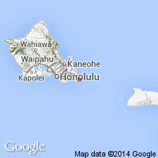
Tuffs of Koko Crater are subdivided into stratigraphic units: upper unit, as much as 75 ft thick, consisting of well-stratified, medium-to-coarse-grained tuffs containing accretionary lapilli (ash pisoliths) from 1 to 5 cm in diam., and lower unit of underlying beds forming bulk of cone consisting of crudely bedded to massive lapilli tuffs and coarse tuffs with scattered bombs and blocks. Authors believe "Koko Group" erupted previous to Waimanalo stand of sea based on prominent bench from 5 to 12 ft above sea level cut into tuffs on seaward side of Koko Group and well-developed 4-ft clayey soil locally present on surface of Koko volcanic rocks.
Source: GNU records (USGS DDS-6; Menlo GNULEX).
- Usage in publication:
-
- Koko Volcanics*
- Modifications:
-
- Geochronologic dating
- AAPG geologic province:
-
- Oahu
Summary:
K-Ar ages on alkali olivine basalt from Koko lava of Honolulu Volcanic Series range from 43.4 +/-1.0 ka to 35.5 +/-2.2 ka.
Source: GNU records (USGS DDS-6; Menlo GNULEX).
- Usage in publication:
-
- Koko Volcanics*
- Modifications:
-
- Age modified
- AAPG geologic province:
-
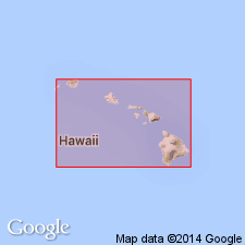
- Oahu
Summary:
Koko Volcanics erupted during low stand of sea during either Kawela low or Mamala low of Wisconsinan, not during earlier low [referred to Hay and Iljima, 1968]
Source: GNU records (USGS DDS-6; Menlo GNULEX).
- Usage in publication:
-
- Koko Volcanics†
- Modifications:
-
- Abandoned
- AAPG geologic province:
-
- Oahu
Summary:
Koko Volcanics (Stearns, IN Stearns and Vaksvik, 1935) abandoned as formally named unit. Rocks reallocated to Koko Crater tuff cone, Hanauma tuff cone, and Koko Head flow (and associated cone), informal units of Honolulu Volcanics.
Source: GNU records (USGS DDS-6; Menlo GNULEX).
For more information, please contact Nancy Stamm, Geologic Names Committee Secretary.
Asterisk (*) indicates published by U.S. Geological Survey authors.
"No current usage" (†) implies that a name has been abandoned or has fallen into disuse. Former usage and, if known, replacement name given in parentheses ( ).
Slash (/) indicates name conflicts with nomenclatural guidelines (CSN, 1933; ACSN, 1961, 1970; NACSN, 1983, 2005, 2021). May be explained within brackets ([ ]).

