

- Usage in publication:
-
- Knowles Granodiorite*
- Modifications:
-
- Named
- Geochronologic dating
- Dominant lithology:
-
- Granodiorite
- AAPG geologic province:
-
- Sierra Nevada province
Summary:
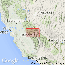
Named for settlement of Knowles. Type locality is area in vicinity of Raymond quarry [37 deg 13' 07"N, 119 deg 52' 19"W Madera Co, CA]. Is youngest formally named unit of Fine Gold Intrusive Suite (new). Includes granodiorite southwest of Rabbit Hill and trondhjemite north of Eastman Lake. Formerly called granodiorite of Knowles (Bateman and others 1983; Stern and others, 1981). Is light gray, medium-grained and equigranular. Appears structureless in most outcrops but faint magmatic foliation is visible locally. Intrudes Bass Lake Tonalite and Ward Mountain Trondhjemite. Is Early Cretaceous based on U-Pb age of 111.5 Ma (Stern and others, 1981).
Source: GNU records (USGS DDS-6; Menlo GNULEX).
For more information, please contact Nancy Stamm, Geologic Names Committee Secretary.
Asterisk (*) indicates published by U.S. Geological Survey authors.
"No current usage" (†) implies that a name has been abandoned or has fallen into disuse. Former usage and, if known, replacement name given in parentheses ( ).
Slash (/) indicates name conflicts with nomenclatural guidelines (CSN, 1933; ACSN, 1961, 1970; NACSN, 1983, 2005, 2021). May be explained within brackets ([ ]).