- Usage in publication:
-
- Knobtown Limestone Member
- Modifications:
-
- Revised
- AAPG geologic province:
-
- Forest City basin
Summary:
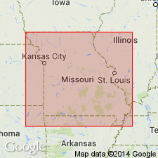
Revised as middle of three members of Shale Hill Formation (new) of Pleasanton Group. Restricted to lower part of Knobtown sand zone of Greene (1933) in report area of western MO, Forest City basin. Occurs in subsurface in northwest MO. Conformably overlies Weldon River Sandstone Member (new) of Shale Hill; conformably underlies Blue Mound Member (new) of Shale Hill. Average thickness is 5 ft. Fossil list. Late Pennsylvanian (early Missourian) age.
Source: GNU records (USGS DDS-6; Denver GNULEX).
For more information, please contact Nancy Stamm, Geologic Names Committee Secretary.
Asterisk (*) indicates published by U.S. Geological Survey authors.
"No current usage" (†) implies that a name has been abandoned or has fallen into disuse. Former usage and, if known, replacement name given in parentheses ( ).
Slash (/) indicates name conflicts with nomenclatural guidelines (CSN, 1933; ACSN, 1961, 1970; NACSN, 1983, 2005, 2021). May be explained within brackets ([ ]).

