The National Geologic Map Database is migrating to a new infrastructure. We apologize for any service disruptions during this process.
|
|---|


- Usage in publication:
-
- Kisimilok Formation*
- Modifications:
-
- Named
- Biostratigraphic dating
- Dominant lithology:
-
- Mudstone
- Sandstone
- AAPG geologic province:
-
- Alaska Northern region
Summary:
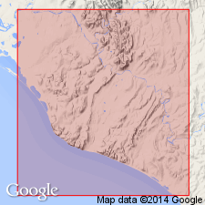
Named for exposures in vicinity of Kisimilok Creek, southwest side of Lisburne Peninsula, northern AK, which is designated type locality. Is chiefly mudstone with rhythmically interbedded sandstone abundant in basal zone; turbidites are common. Is over 5000 ft thick. Unconformably(?) underlies Fortress Mountain(?) Formation. Conformably overlies Telavirak Formation (new). Is Early Cretaceous age based on BUCHIA.
Source: GNU records (USGS DDS-6; Menlo GNULEX).
- Usage in publication:
-
- Kisimilok Formation*
- Modifications:
-
- Overview
- Biostratigraphic dating
- AAPG geologic province:
-
- Alaska Northern region
Summary:
Best exposed in stream cutbanks of southeast- and northwest-flowing tributaries of Kisimilok Creek and along some cutbanks of Kukpuk River, northern AK. Occurs in rubble suboutcrops on low hills along coastline from point about a mi west of mouth of Kisimilok to east edge of map area (Chariot Site, Lisburne Peninsula). Consists dominantly of massive to thinly laminated medium-dark-gray to dark-gray mudstone with basal zone of interbedded sandstone locally containing abundant fossils. Total thickness is over 5000 ft. Apparently conformably overlies Telavirak Formation. Unconformably(?) underlies Fortress Mountain(?) Formation. Assigned Early Cretaceous age on basis of pelecypod fauna BUCHIA identified by D.L. Jones (written commun., 1961, 1963).
Source: GNU records (USGS DDS-6; Menlo GNULEX).
For more information, please contact Nancy Stamm, Geologic Names Committee Secretary.
Asterisk (*) indicates published by U.S. Geological Survey authors.
"No current usage" (†) implies that a name has been abandoned or has fallen into disuse. Former usage and, if known, replacement name given in parentheses ( ).
Slash (/) indicates name conflicts with nomenclatural guidelines (CSN, 1933; ACSN, 1961, 1970; NACSN, 1983, 2005, 2021). May be explained within brackets ([ ]).