

- Usage in publication:
-
- Kiokee gneisses, Series
- Modifications:
-
- Named
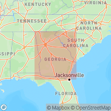
- Areal extent
- Dominant lithology:
-
- Gneiss
- AAPG geologic province:
-
- Piedmont-Blue Ridge province
Summary:
Principal, and probably oldest, unit of the Kiokee belt outlined by Crickmay (1952: Georgia Geologic Survey Bull. 58) is a granitic biotite gneiss. Alternating biotite-rich and quartzo-feldspathic layers form pronounced color banding. Kiokee gneisses, with associated granitic and ultrabasic intrusives, underlie most of Columbia Co. from Keg Creek southward to Richmond Co. In extreme southeast corner, Kiokee rocks are in contact with Little River Series. Southward both the Kiokee and Little River Series are overlapped by Tuscaloosa sediments. The Kiokee gneisses extend westward from Columbia Co., across central McDuffie, and into central Warren Co. with little change.
Source: GNU records (USGS DDS-6; Reston GNULEX).
For more information, please contact Nancy Stamm, Geologic Names Committee Secretary.
Asterisk (*) indicates published by U.S. Geological Survey authors.
"No current usage" (†) implies that a name has been abandoned or has fallen into disuse. Former usage and, if known, replacement name given in parentheses ( ).
Slash (/) indicates name conflicts with nomenclatural guidelines (CSN, 1933; ACSN, 1961, 1970; NACSN, 1983, 2005, 2021). May be explained within brackets ([ ]).