The National Geologic Map Database is migrating to a new infrastructure. We apologize for any service disruptions during this process.
|
|---|


- Usage in publication:
-
- Kingsbury conglomerate*
- Modifications:
-
- Named
- Dominant lithology:
-
- Conglomerate
- AAPG geologic province:
-
- Powder River basin
Summary:
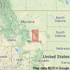
Named for Kingsbury Ridge southwest of Buffalo, Johnson Co, WY in the Powder River basin. No type locality designated. Composed of pebbles and boulders, mostly of Carboniferous limestones and dark-colored chert and the very distinctive flat-pebble conglomerate of the Deadwood formation of the mountains west. Granite pebbles occur in small numbers to north, but they are more abundant in exposures along Piney Creek; none were observed near Clear Creek and southward. Conglomerate occurs mostly in layers 6 to 12 ft interbedded with dark-greenish to light-yellow clays. Conglomerate attains its greatest prominence in the high ridge lying east of North Fork of Rock Creek, where conspicuous ledges are over a hundred feet high. Is 400 to 2,500 ft thick. Geologic map. Cross sections. Mapped from Beaver Creek south to Kingsbury Ridge on east flank of Bighorn Mountains. Kingsbury overlies Cretaceous Piney formation and underlies Cretaceous DeSmet formation. Fossil shells and plants occur in the upper beds south side of Johnson Creek, but they do not indicate the precise age of the beds. Assigned a Cretaceous age.
Source: GNU records (USGS DDS-6; Denver GNULEX).
- Usage in publication:
-
- Kingsbury conglomerate
- Modifications:
-
- Revised
- AAPG geologic province:
-
- Powder River basin
Summary:
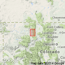
Revised in that Kingsbury conglomerate unconformably underlies the newly named Moncrief gravel along the east front of the Big Horn Mountains, Sheridan Co, WY in the Powder River basin. Is a limestone conglomerate--contrast to Moncrief which was derived from the pre-Cambrian. Is poorly bedded, well cemented, and has subangular to subround fragments of Paleozoic limestone as much as 5 ft in diameter. Geologic map. Cross sections. Of Eocene age. Is a fanglomerate deposited during the first phase of Laramide uplift.
Source: GNU records (USGS DDS-6; Denver GNULEX).
- Usage in publication:
-
- Kingsbury member*
- Modifications:
-
- Revised
- AAPG geologic province:
-
- Powder River basin
Summary:
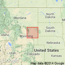
Kingsbury shown as the lower member of the Wasatch formation on the west side of the Powder River basin. Mapped from south of Buffalo area north to T54N, R85W. Described as a conglomerate of Paleozoic rock fragments, sandstone, and variegated claystone that is overlain by the Moncrief member--reduced in stratigraphic rank from formation without explanation--of Wasatch. Overlies Tongue River member of Fort Union formation. [No explanation for change from Kingsbury conglomerate member to Kingsbury member included.] Of Eocene age.
Source: GNU records (USGS DDS-6; Denver GNULEX).
- Usage in publication:
-
- Kingsbury conglomerate member*
- Modifications:
-
- Mapped 1:48k
- AAPG geologic province:
-
- Powder River basin
Summary:
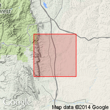
Is basal member of Wasatch formation. South of Kingsbury Ridge at the northwest part of mapped area, member thins and from T48N, R82W grades into the finer grained unnamed lower part of the Wasatch. South of Crazy Woman Creek the lower part of the Wasatch is 150 ft thick and consists of red and dark-green soft claystone with lenticular calcareous medium- to coarse-grained sandstone lenses. Is dominantly a quartzose sandstone. Has some orthoclase and microcline. Some quartz grains discolored by hematite. Member mapped in north-central part of geologic map. Elsewhere Wasatch is undivided. Of Eocene age.
Source: GNU records (USGS DDS-6; Denver GNULEX).
For more information, please contact Nancy Stamm, Geologic Names Committee Secretary.
Asterisk (*) indicates published by U.S. Geological Survey authors.
"No current usage" (†) implies that a name has been abandoned or has fallen into disuse. Former usage and, if known, replacement name given in parentheses ( ).
Slash (/) indicates name conflicts with nomenclatural guidelines (CSN, 1933; ACSN, 1961, 1970; NACSN, 1983, 2005, 2021). May be explained within brackets ([ ]).