- Usage in publication:
-
- Kings Lake Formation
- Modifications:
-
- Original reference
- Dominant lithology:
-
- Limestone
- AAPG geologic province:
-
- Lincoln anticline
- Illinois basin
Summary:
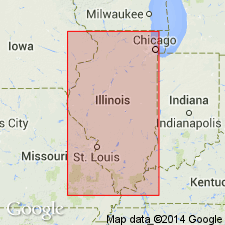
Pg. 110-111, 112, 236. Kings Lake Formation of Decorah subgroup [informal] of Galena Group. Present in western Missouri and eastern Illinois. Differentiated by Herbert (1949, unpub. thesis), as member of Decorah Formation, the Kings Lake is classified here as formation overlying the Spechts Ferry and underlying the Guttenberg (both of Decorah subgroup). Subdivided into Mincke and Tyson Members (both new). Commonly 5 to 10 feet thick; maximum thickness 15 feet; thins to northeast in subsurface. Age is Middle Ordovician (Champlainian).
Type section: exposure at top of Mississippi River bluff, 1.6 mi north of Foley, Lincoln Co., MO, about 500 feet north of road junction at Kings Lake, in SE/4 SE/4 NE/4 sec. 26, T. 50 N., R. 2 E., Hardin quadrangle [Foley 7.5-min quadrangle], Lincoln Co., MO.
["Subgroup" not recognized as a formal stratigraphic rank term (CSN, 1933; ACSN, 1961, 1970; NACSN, 1983, 2005, 2021). Considered informal and should not be capitalized.]
Source: US geologic names lexicon (USGS Bull. 1350, p. 394); supplemental information from GNU records (USGS DDS-6; Reston GNULEX).

- Usage in publication:
-
- Kings Lake Formation
- Modifications:
-
- Overview
- AAPG geologic province:
-
- Illinois basin
Summary:
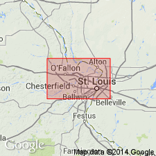
Pg. 74 (fig. O-22), 75-76. Kings Lake Formation of Decorah subgroup [informal] of Galena Group. Exposed in Illinois only near West Point Landing, Calhoun County. Largely an argillaceous, very silty, dolomitic limestone with a few thin beds of shale, calcarenite, and bentonite. Thickness commonly 5 to 10 feet. Includes (ascending) Mincke and Tyson Members. Overlies Spechts Ferry Formation and underlies Guttenberg Formation. Many of the characteristics of the Kings Lake are transitional from those of the Spechts Ferry to those of the Guttenberg, but the Kings Lake is more silty and sandy than either of them. Lithologically similar to lower part of Logana Formation of Kentucky, and Hermitage Formation of Tennessee. Carries a mixture of Spechts Ferry and Guttenberg fossils, most abundant being PIONODEMA SUBAEQUATA, ZYGOSPIRA RECURVIROSTRIS, and locally SOWERBYELLA CURDSVILLENSIS. [Age is late Middle Ordovician (Trentonian).] Report includes geologic maps, cross sections, correlation charts.
["Subgroup" not recognized as a formal stratigraphic rank term (CSN, 1933; ACSN, 1961, 1970; NACSN, 1983, 2005, 2021). Considered informal and should not be capitalized.]
Source: Publication.

- Usage in publication:
-
- Kings Lake Limestone*
- Modifications:
-
- Overview
- AAPG geologic province:
-
- Illinois basin
- Ozark uplift
Summary:
Kings Lake Formation included in Middle Ordovician (Mohawkian) Decorah Group in IL and MO in St. Louis area. A thin, unnamed bentonite bed is correlated with K-5 bentonite in TN by Templeton and Willman (1963). [Author follows usage of Thompson (1991).]
Source: GNU records (USGS DDS-6; Reston GNULEX).
For more information, please contact Nancy Stamm, Geologic Names Committee Secretary.
Asterisk (*) indicates published by U.S. Geological Survey authors.
"No current usage" (†) implies that a name has been abandoned or has fallen into disuse. Former usage and, if known, replacement name given in parentheses ( ).
Slash (/) indicates name conflicts with nomenclatural guidelines (CSN, 1933; ACSN, 1961, 1970; NACSN, 1983, 2005, 2021). May be explained within brackets ([ ]).

