

- Usage in publication:
-
- Kingak shale*
- Modifications:
-
- Named
- Biostratigraphic dating
- Dominant lithology:
-
- Shale
- AAPG geologic province:
-
- Alaska Northern region
Summary:
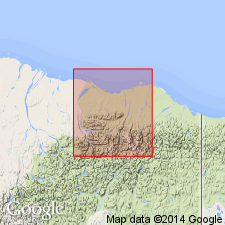
Kingak shale has been identified at only one locality, Kingak Cliff, near Camp 263, southeast end of Sadlerochit Mountains, northeastern AK. Formation name is confined to black shales containing fauna of Early Jurassic age listed in report. Is about 4000 ft thick. Conformably overlies Shublik formation (new). Nothing is known about upper contact. Age given as Early Jurassic based on fossils identified by T.W. Stanton and Frank Springer.
Source: GNU records (USGS DDS-6; Menlo GNULEX).
- Usage in publication:
-
- Kingak shale*
- Modifications:
-
- Age modified
- AAPG geologic province:
-
- Alaska Northern region
Summary:
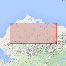
Age of Kingak shale is Early through Late Jurassic. Geographically extended to Shaviovik River. [Conformably] overlies Shublik formation (of Late Triassic age); underlies Okpikruak formation (of Early Cretaceous age).
Source: GNU records (USGS DDS-6; Menlo GNULEX).
- Usage in publication:
-
- Kingak shale*
- Modifications:
-
- Age modified
- Areal extent
- AAPG geologic province:
-
- Alaska Northern region
Summary:
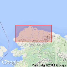
Age given as Early, Middle, and Late Jurassic based on marine fossils. Unit is geographically extended westward to central Southern Foothills section where it is 1500 ft thick. It is about 800 ft thick in Simpson and Barrow wells where it is composed of glauconitic sandstone and shale. Overlies Shublik formation. Underlies Okpikruak formation.
Source: GNU records (USGS DDS-6; Menlo GNULEX).
- Usage in publication:
-
- Kingak Shale*
- Modifications:
-
- Reference
- Revised
- Biostratigraphic dating
- AAPG geologic province:
-
- Alaska Northern region
Summary:
Sandstone beds on west bank of Karen Creek southeast of outlet of Lake Schrader (formerly called Kingak Shale by Reed, 1968) are here named Karen Creek Sandstone. Reference sections for Kingak Shale are given in Ignek Valley about 19.3 km west of type locality (Kingak Cliff) and on west bank of Aichilik River. Distribution, lithology, megafossils, and microfossils are discussed.
Source: GNU records (USGS DDS-6; Menlo GNULEX).
- Usage in publication:
-
- Kingak Shale*
- Modifications:
-
- Age modified
- Revised
- AAPG geologic province:
-
- Alaska Northern region
Summary:
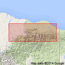
In outcrop belt of Kingak Shale to south and southwest of Sadlerochit Mountains unit is stratigraphically extended to include Neocomian shale which is preserved under unconformity that truncates Kingak elsewhere. In Kemik Creek area there is no lithologic difference between the Neocomian and Upper Jurassic parts of Kingak Shale with possible exception of rare quartz grains in Neocomian part. BUCHIA pelecypods in Neocomian shales provided reliable age data. [Age of Kingak Shale is Early, Middle, and Late Jurassic, and locally Early Cretaceous.]
Source: GNU records (USGS DDS-6; Menlo GNULEX).
For more information, please contact Nancy Stamm, Geologic Names Committee Secretary.
Asterisk (*) indicates published by U.S. Geological Survey authors.
"No current usage" (†) implies that a name has been abandoned or has fallen into disuse. Former usage and, if known, replacement name given in parentheses ( ).
Slash (/) indicates name conflicts with nomenclatural guidelines (CSN, 1933; ACSN, 1961, 1970; NACSN, 1983, 2005, 2021). May be explained within brackets ([ ]).