The National Geologic Map Database is migrating to a new infrastructure. We apologize for any service disruptions during this process.
|
|---|


- Usage in publication:
-
- King Tonopah Member
- Modifications:
-
- Named
- Geochronologic dating
- Dominant lithology:
-
- Tuff
- Siltstone
- Sandstone
- AAPG geologic province:
-
- Great Basin province
Summary:
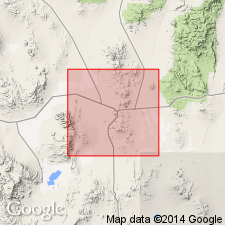
Named as upper member (of 2) of Fraction Tuff. Type locality designated as exposures extending from King Tonopah Mine, 1.6 km north of town of Tonopah, for 1.6 km northeast to top of "TV Tower Hill," secs.24-25 T3N R42E, Nye Co, NV. Consists of moderately to densely welded vitric-lithic rhyolite ash-flow tuff with volcanic siltstone, sandstone, conglomerate, and breccia lenses. Thickness is 200 m. Unconformably overlies Mizpah Formation, Tonopah Summit Member (new) (Fraction Tuff). Unconformably underlies Heller Tuff. Is Miocene age based on K-Ar age on biotite of 21.5 +/-0.9 Ma and on alkali feldspar of 18.7 +/-0.6 Ma.
Source: GNU records (USGS DDS-6; Menlo GNULEX).
For more information, please contact Nancy Stamm, Geologic Names Committee Secretary.
Asterisk (*) indicates published by U.S. Geological Survey authors.
"No current usage" (†) implies that a name has been abandoned or has fallen into disuse. Former usage and, if known, replacement name given in parentheses ( ).
Slash (/) indicates name conflicts with nomenclatural guidelines (CSN, 1933; ACSN, 1961, 1970; NACSN, 1983, 2005, 2021). May be explained within brackets ([ ]).