

- Usage in publication:
-
- Kilby formation
- Modifications:
-
- Named
- Dominant lithology:
-
- Sand
- Gravel
- AAPG geologic province:
-
- Atlantic Coast basin
Summary:
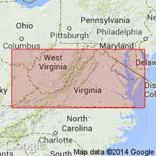
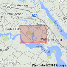
Kilby Formation named in this report in area south of James River, VA. Composed of clayey sands and gravels. Base is characterized over wide areas by thin cobble and boulder zone which contains boulders of exceptional size. Plates and concretions of limonite occur at contact with underlying Sedley formation (new name). Directly underlies both Sunderland and Wicomico terrace surfaces. New formation names necessary because names Sunderland formation and Wicomico formation are meaningless. Both of these terraces are underlain by same formation, not two different formations as previously believed. Terrace as used here refers to land form only and does not refer to nor imply existence of any deposits genetically related to them.
Source: GNU records (USGS DDS-6; Reston GNULEX).

- Usage in publication:
-
- Kilby facies
- Modifications:
-
- Revised
- AAPG geologic province:
-
- Atlantic Coast basin
Summary:
Kilby Formation of Moore (1956) rejected in this report and term Bacons Castle Formation (new name) applied to the lower unit and Elberon Formation (new name) to the upper unit. Name Kilby retained for coarse-grained facies of Bacons Castle Formation. Composed of clayey sand, pebble gravel, and cobble gravel. Occurs near base of formation and generally underlies Cross Creek facies (new). Maximum and average thicknesses for Kilby facies are 20 ft and 8 ft, respectively.
Source: GNU records (USGS DDS-6; Reston GNULEX).
- Usage in publication:
-
- Kilby
- Modifications:
-
- Not used
- AAPG geologic province:
-
- Atlantic Coast basin
Summary:
Kilby Formation (of Moore, 1956) mapped as Windsor Formation by subsequent authors. In this report, Charles City and Chuckatuck Formation (new names) replace upper Windsor. [No mention of Bacons Castle or Elberon Formations with which Coch, (1965) replaced Kilby Formation.
Source: GNU records (USGS DDS-6; Reston GNULEX).
For more information, please contact Nancy Stamm, Geologic Names Committee Secretary.
Asterisk (*) indicates published by U.S. Geological Survey authors.
"No current usage" (†) implies that a name has been abandoned or has fallen into disuse. Former usage and, if known, replacement name given in parentheses ( ).
Slash (/) indicates name conflicts with nomenclatural guidelines (CSN, 1933; ACSN, 1961, 1970; NACSN, 1983, 2005, 2021). May be explained within brackets ([ ]).