The National Geologic Map Database is migrating to a new infrastructure. We apologize for any service disruptions during this process.
|
|---|


- Usage in publication:
-
- Kiger division
- Modifications:
-
- Named
- Dominant lithology:
-
- Sandstone
- Dolomite
- Shale
- Gypsum
- AAPG geologic province:
-
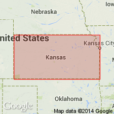
- Anadarko basin
- Sedgwick basin
Summary:
Named Kiger division, upper division of the Cimarron series. Divided into (in ascending order) Dog Creek shales, Red Bluff sandstones, Day Creek dolomite, Hackberry shales, and Big Basin sandstone (all new). Kiger overlies Cave Creek gypsum (new) of Salt Fork division (new), the lower division of Cimarron. Thickness of group not stated. Lithologies of the formations in the group include sandstone, dolomite, shale, and gypsum. [Formations of group occur in the Anadarko and Sedgwick basins.]
Named for Kiger Creek, Clark Co., KS, [in the Anadarko basin]. Type locality not designated.
Source: Modified from GNU records (USGS DDS-6; Denver GNULEX).
For more information, please contact Nancy Stamm, Geologic Names Committee Secretary.
Asterisk (*) indicates published by U.S. Geological Survey authors.
"No current usage" (†) implies that a name has been abandoned or has fallen into disuse. Former usage and, if known, replacement name given in parentheses ( ).
Slash (/) indicates name conflicts with nomenclatural guidelines (CSN, 1933; ACSN, 1961, 1970; NACSN, 1983, 2005, 2021). May be explained within brackets ([ ]).