- Usage in publication:
-
- Keystone Quartz Diorite
- Modifications:
-
- Named
- Dominant lithology:
-
- Quartz diorite
- AAPG geologic province:
-
- Southern Rocky Mountain region
Summary:
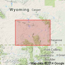
Named for exposures south of the old mining town of Keystone and on Hwy 230 west of Woods Landing, Albany Co., WY in the Southern Rocky Mountain region. Is a large body of quartz diorite that covers 34 sq miles in the south-central Medicine Bow Mountains southeast of Keystone. Has the present shape of a wooden shoe; central part of body is cut by a gabbroic intrusion. The quartz diorite is dark gray, medium grained, and faintly to strongly foliated. Forms elongate outcrops with widely spaced joints. Contacts with the older unnamed hornblende gneiss and quartz andesine is conformable; the quartz diorite is usually fine grained and more strongly foliated along contacts. Inclusions of gneiss found throughout the quartz diorite as lenticular pods and as schlieren. Considered an intrusive rock that was metamorphosed during and after emplacement. Mapped (geologic map) in Ts 13 and 14 N, Rs 78 and 79 W. Of Precambrian age.
Source: GNU records (USGS DDS-6; Denver GNULEX).

- Usage in publication:
-
- Keystone Quartz Diorite*
- Modifications:
-
- Areal extent
- AAPG geologic province:
-
- Southern Rocky Mountain region
Summary:
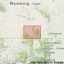
Mapped (geologic map) south of Albany around Lake Owen in southeast part of map area, Albany Co., WY on the east side of the Medicine Bow Mountains. This body is south of the Cheyenne belt in the Southern Rocky Mountain region. It has an age of 1,800 Ma, the same age as the Encampment River Granodiorite of the Sierra Madre.
Source: GNU records (USGS DDS-6; Denver GNULEX).
For more information, please contact Nancy Stamm, Geologic Names Committee Secretary.
Asterisk (*) indicates published by U.S. Geological Survey authors.
"No current usage" (†) implies that a name has been abandoned or has fallen into disuse. Former usage and, if known, replacement name given in parentheses ( ).
Slash (/) indicates name conflicts with nomenclatural guidelines (CSN, 1933; ACSN, 1961, 1970; NACSN, 1983, 2005, 2021). May be explained within brackets ([ ]).

