- Usage in publication:
-
- Keres Group*
- Modifications:
-
- Original reference
- Dominant lithology:
-
- Volcanics
- AAPG geologic province:
-
- San Juan basin
Summary:
Pg. P2-P5. Keres Group. Consists of basaltic, andesitic, dacitic, and rhyolitic rocks. Total thickness 6,000+ feet, but because of lenticular nature of most of its component formations, maximum thickness in any given place does not exceed 3,000 feet. Divided into (ascending): the basalt of Chamisa Mesa (informal), Canovas Canyon Rhyolite, Paliza Canyon Formation, and Bearhead Rhyolite (all new). Conformably overlies Santa Fe Formation and interfingers with Cochiti Formation (new). Unconformably underlies Polvadera (new) and Tewa Groups. Age is early to middle Pliocene.
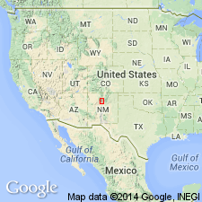
[Type area:] southern Jemez Mountains, Sandoval Co., north-central NM. Named from Keresan Range, old name for this part of Jemez Mountains. (Pronounced kear'-es.)
Source: Publication; US geologic names lexicon (USGS Bull. 1520, p. 164).
For more information, please contact Nancy Stamm, Geologic Names Committee Secretary.
Asterisk (*) indicates published by U.S. Geological Survey authors.
"No current usage" (†) implies that a name has been abandoned or has fallen into disuse. Former usage and, if known, replacement name given in parentheses ( ).
Slash (/) indicates name conflicts with nomenclatural guidelines (CSN, 1933; ACSN, 1961, 1970; NACSN, 1983, 2005, 2021). May be explained within brackets ([ ]).

