The National Geologic Map Database is migrating to a new infrastructure. We apologize for any service disruptions during this process.
|
|---|


- Usage in publication:
-
- Kerber formation*
- Modifications:
-
- Original reference
- Dominant lithology:
-
- Sandstone
- Shale
- AAPG geologic province:
-
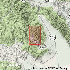
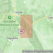
- San Luis basin
Summary:
Kerber formation. Series of coarse-grained sandstones or grits and black carbonaceous shales which overlie, with possibly a stratigraphic break, the Leadville limestone and extend up to base of lowest red-colored micaceous sediments or sandy shales of Maroon formation. Thickness 200+/- feet. Basal member is a sandstone 70 to 75 feet thick. [Is equivalent to so-called Weber limestone of Anthracite-Crested Butte district.] Age is Pennsylvanian.
Named from exposures along Kerber Creek, Bonanza district, Saguache Co., southern CO.
Source: US geologic names lexicon (USGS Bull. 896, p. 1086).
- Usage in publication:
-
- Kerber formation
- Modifications:
-
- Areal extent
- AAPG geologic province:
-
- San Luis basin
Summary:
Pg. 1147 (fig. 2), 1159-1160. Kerber formation. Composite Paleozoic section in northern Sangre de Cristo Range shows Kerber formation, 0 to 150 feet thick, between Leadville limestone below and Minturn formation above. No fossil or plant remains. Age is considered [Early or Middle Pennsylvanian], , may be Morrowan or Atokan, based on stratigraphic position.
[Kerber Formation not separately mapped (pl. 1). On p. 1159, author states northern limit of beds is uncertain; southernmost exposures of typical Kerber is east of Grayback Mountain in Huerfano Park, Custer and Huerfano Cos., south-central CO, citing Burbank and Goddard, 1937, GSA Bull., v. 48, p. 941.]
Source: US geologic names lexicon (USGS Bull. 1200, p. 1995-1996).
- Usage in publication:
-
- Kerber formation
- Modifications:
-
- Areal extent
- AAPG geologic province:
-
- Las Vegas-Raton basin
Williamson, D.R., and Burgin, Lorraine, 1960, Limestone occurrences in Colorado: Colorado School of Mines Foundation, Mineral Industries Bulletin, v. 3, no. 1, p. __.
Summary:
Pg. 11 (chart). Kerber formation. Correlation chart shows Kerber formation underlying Sharpsdale formation (new). [Age is Pennsylvanian.]
Source: US geologic names lexicon (USGS Bull. 1200, p. 1995-1996).
For more information, please contact Nancy Stamm, Geologic Names Committee Secretary.
Asterisk (*) indicates published by U.S. Geological Survey authors.
"No current usage" (†) implies that a name has been abandoned or has fallen into disuse. Former usage and, if known, replacement name given in parentheses ( ).
Slash (/) indicates name conflicts with nomenclatural guidelines (CSN, 1933; ACSN, 1961, 1970; NACSN, 1983, 2005, 2021). May be explained within brackets ([ ]).