The National Geologic Map Database is migrating to a new infrastructure. We apologize for any service disruptions during this process.
|
|---|


- Usage in publication:
-
- Keota sandstone member*
- Modifications:
-
- Original reference
- Dominant lithology:
-
- Sandstone
- AAPG geologic province:
-
- Arkoma basin
- Chautauqua platform
Summary:
Pg. 503-520. Keota sandstone member of Savanna sandstone. Gray to brown sandstone, regularly bedded, blocky, ripple marked. Thickness in Muskogee-Porum area 10 feet. Lies 70+/- feet above Tamaha sandstone member and 50+/- feet below Spiro sandstone member. Age is Pennsylvanian. Report includes geologic map, columnar sections, measured sections.
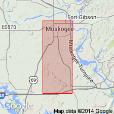
Named from exposures at Keota, Haskell Co., eastern OK. Recognized in Muskogee, Haskell, and McIntosh Cos., eastern OK.
Source: US geologic names lexicon (USGS Bull. 896, p. 1014); supplemental information from GNU records (USGS DDS-6; Denver GNULEX).
- Usage in publication:
-
- Keota sandstone member*
- Modifications:
-
- Revised
- AAPG geologic province:
-
- Arkoma basin
Summary:
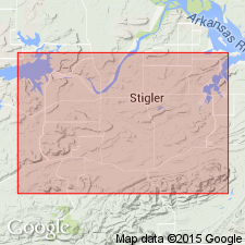
Pg. 42-44, pl. 1. Keota sandstone member of McAlester formation. Reallocated to member status in McAlester formation. Sequence of lenticular sandstone and arenaceous shale beds, locally including one or more thin coal seams. Within town limits of Keota are two sandstone units, each comparable to that described as Keota sandstone member in Muskogee County, eastern Oklahoma; these two units and the intervening shale are considered consituting the Keota within the Cowlington syncline in Haskell County; in the Sanbois and Stigler synclines, only one sandstone unit seems to be present at this horizon. Conformably overlies an unnamed shale that lies above Tamaha sandstone or above the horizon of the Tamaha where the Tamaha is not present; conformably underlies an unnamed shale in upper part of formation. Equivalent to Keota sandstone in northern Le Flore County, to east, and in Muskogee County, to north. Age is Middle Pennsylvanian (Des Moines). Report includes geologic map, measured sections, nomenclature history.
Source: Publication; US geologic names lexicon (USGS Bull. 1200, p. 1995).
For more information, please contact Nancy Stamm, Geologic Names Committee Secretary.
Asterisk (*) indicates published by U.S. Geological Survey authors.
"No current usage" (†) implies that a name has been abandoned or has fallen into disuse. Former usage and, if known, replacement name given in parentheses ( ).
Slash (/) indicates name conflicts with nomenclatural guidelines (CSN, 1933; ACSN, 1961, 1970; NACSN, 1983, 2005, 2021). May be explained within brackets ([ ]).