- Usage in publication:
-
- Keokuck cherty limestones
- Modifications:
-
- Original reference
- Dominant lithology:
-
- Limestone
- AAPG geologic province:
-
- Iowa shelf
Summary:
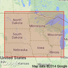
Pg. 91, 92. Keokuck cherty limestones. Gray, cherty limestones, forming wall of rock washed by Mississippi River below Keokuck Landing, [Lee County], Iowa. Overlain by Shell beds and underlain by Hannibal beds (brown Encrinital limestones alternating with bands of chert), which rest on Burlington beds (the Encrinital group of Burlington). [According to later Iowa reports the Keokuck cherty limestones of Owen are the "cherty beds of passage" separating the Keokuk and Burlington limestones of Hall.]
Source: US geologic names lexicon (USGS Bull. 896, p. 1084-1085).
- Usage in publication:
-
- Keokuk or lower Archimedes limestone
- Modifications:
-
- Revised
- AAPG geologic province:
-
- Illinois basin
- Iowa shelf
Summary:
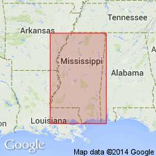
Pg. 53-56. Keokuk or lower Archimedes limestone. Highly fossiliferous limestone, separated from overlying Warsaw or Second Archimedes limestone by "Geode bed" (a mass of shales or marls with impure limestones containing geodes), overlain locally, near Warsaw, Illinois, Appanoose, Iowa, and other places, by 10 feet of magnesian limestone. Separated from underlying Burlington limestone by 60 to 100 feet of beds of passage, consisting of cherty layers with intercalated beds of light-gray limestone. [Age is Mississippian.]
Source: US geologic names lexicon (USGS Bull. 896, p. 1084-1085).
- Usage in publication:
-
- Keokuk limestone*
- Modifications:
-
- Areal extent
- AAPG geologic province:
-
- Anadarko basin
Summary:
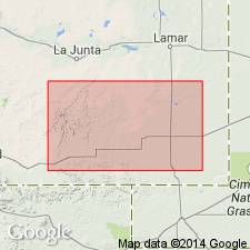
Extended into the subsurface of Baca County, Colorado, in the Anadarko basin. Overlies Burlington limestone and underlies Warsaw limestone. Age is Early Mississippian (Osagian [Osagean]). Report includes correlation chart.
Source: Modified from GNU records (USGS DDS-6; Denver GNULEX).

- Usage in publication:
-
- Keokuk Limestone
- Modifications:
-
- Overview
- AAPG geologic province:
-
- Illinois basin
Summary:
In western IL, Keokuk Limestone is well exposed along Mississippi and Illinois Rivers. In type region, lower 30 ft is differentiated as its Montrose Chert Member. Above Montrose, Keokuk consists of fossiliferous, crinoidal limestone interbedded with fine-grained limestone, argillaceous dolomite, and calcareous gray shale. Contact with overlying Warsaw Shale is gradational. In contrast with underlying Burlington Limestone, Keokuk has greater heterogeneity of skeletal remains, with abundant bryozoans, corals, and brachiopods. Common bryozoans include ARCHIMEDES and WORTHENOPORA. Distinctive brachiopods include SPIRIFER LOGANI, DICTYOCLOSTUS CRAWFORDVILLENSIS, ORTHOTETES KEOKUK, and ROTAIA SUBTRIGONIA (Weller and Sutton, 1940). Conodont GNATHODUS TEXANUS-TAPHROGNATHUS Zone essentially coincides with Keokuk.
Source: GNU records (USGS DDS-6; Reston GNULEX).
- Usage in publication:
-
- Keokuk Limestone
- Modifications:
-
- Revised
- AAPG geologic province:
-
- Illinois basin
- Iowa shelf
- Ozark uplift
Summary:
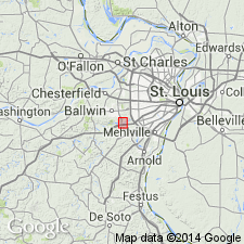
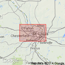
Divisible in the St. Louis, MO (Ozark basin) area and adjoining central IL (Illinois basin) into the Montrose? Chert Member at base. Unnamed beds of Keokuk separate the Montrose from the newly named Peerless Park Member of the Keokuk, and they separate Peerless Park from the Warsaw Shale. To the north, from Lee Co, southeast IA (Iowa shelf) to Hancock Co, IL (Illinois basin), Keokuk divided into the Montrose Chert Member and an overlying upper part. Stratigraphic chart. Underlies Warsaw Shale of late Osagean and early Meramecian age. Assigned an Osagean (but not earliest or latest Osagean) age. Fossils (brachiopods, blastoids, etc) listed.
Source: GNU records (USGS DDS-6; Denver GNULEX).
- Usage in publication:
-
- Keokuk Limestone*
- Modifications:
-
- Overview
- AAPG geologic province:
-
- Illinois basin
- Ozark uplift
Summary:
Mapped undivided with Burlington Limestone in IL and MO, or undivided with Burlington Limestone and Fern Glen Formation in MO. Similar to Burlington, but can be distinguished by its greater heterogeneity of fossils with more bryozoans, corals, and brachiopods.
Source: GNU records (USGS DDS-6; Reston GNULEX).
For more information, please contact Nancy Stamm, Geologic Names Committee Secretary.
Asterisk (*) indicates published by U.S. Geological Survey authors.
"No current usage" (†) implies that a name has been abandoned or has fallen into disuse. Former usage and, if known, replacement name given in parentheses ( ).
Slash (/) indicates name conflicts with nomenclatural guidelines (CSN, 1933; ACSN, 1961, 1970; NACSN, 1983, 2005, 2021). May be explained within brackets ([ ]).

