

- Usage in publication:
-
- Keokee Sandstone Member*
- Modifications:
-
- Original reference
- Dominant lithology:
-
- Sandstone
- AAPG geologic province:
-
- Appalachian basin
Summary:
Pg. 27-28, 58. Keokee Sandstone Member of Wise Formation. Cliff-forming, gray or pale-yellowish-brown, medium-grained, thick-bedded, feldspathic, slightly micaceous sandstone; contains some fine-grained sandstone, and carbonized plant fossils and carbonaceous films and stringers. Thickness 59+/- feet at type section. Lies about 120 feet below Clover Fork Sandstone Member and 150 to 200 feet above Robbins Chapel Sandstone Member, both of Wise Formation. [Age is Middle Pennsylvanian].
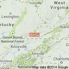
Type section: 1 mi east of Keokee along VA Highway 68, beginning 5,200 ft (airline) east of Keokee School and 200 ft east-northeast of junction of side road with highway at curve at bottom of long hill, northeastern Keokee 7.5-min quadrangle, northeastern Lee Co., southwestern VA. Named from town of Keokee.
Source: Publication; GNU records (USGS DDS-6; Reston GNULEX); US geologic names lexicon (USGS Bull. 1520, p. 163-164).
For more information, please contact Nancy Stamm, Geologic Names Committee Secretary.
Asterisk (*) indicates published by U.S. Geological Survey authors.
"No current usage" (†) implies that a name has been abandoned or has fallen into disuse. Former usage and, if known, replacement name given in parentheses ( ).
Slash (/) indicates name conflicts with nomenclatural guidelines (CSN, 1933; ACSN, 1961, 1970; NACSN, 1983, 2005, 2021). May be explained within brackets ([ ]).