

- Usage in publication:
-
- Kenosha shale bed
- Modifications:
-
- Original reference
- Dominant lithology:
-
- Shale
- AAPG geologic province:
-
- Nemaha anticline
Summary:
Pg. 47, 52. Kenosha shale bed of Tecumseh shale member of Shawnee group. Proposed in this report for the 6 or 7 feet of shale at base of Tecumseh shale member, and underlying Ost limestone. Occurs above Avoca limestone bed of Lecompton limestone member of Shawnee group. Age is Pennsylvanian.
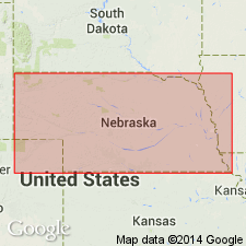
Type locality: in Missouri River bluff near Kenosha landing at mouth of second small valley south of King Hill, Case Co., southeastern NE. Named from Kenosha landing.
Source: US geologic names lexicon (USGS Bull. 896, p. 1083); GNC KS-NE Pennsylvanian Corr. Chart, sheet 1, Oct. 1936; supplemental information from GNU records (USGS DDS-6; Denver GNULEX).
For more information, please contact Nancy Stamm, Geologic Names Committee Secretary.
Asterisk (*) indicates published by U.S. Geological Survey authors.
"No current usage" (†) implies that a name has been abandoned or has fallen into disuse. Former usage and, if known, replacement name given in parentheses ( ).
Slash (/) indicates name conflicts with nomenclatural guidelines (CSN, 1933; ACSN, 1961, 1970; NACSN, 1983, 2005, 2021). May be explained within brackets ([ ]).