- Usage in publication:
-
- Kennesaw Gneiss Member
- Modifications:
-
- Named
- Dominant lithology:
-
- Gneiss
- AAPG geologic province:
-
- Piedmont-Blue Ridge province
Summary:
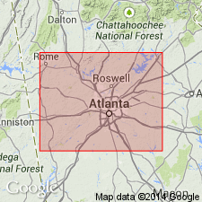
The informal Kennesaw gneiss of Hurst (1952), here named the Kennesaw Gneiss Member of the Laura Lake Mafic Complex, is a mappable unit of quartz diorite gneiss along the western margin of the Laura Lake in the Greater Atlanta Region, GA. It is quarried locally for aggregate near Kennesaw, Cobb Co.
Source: GNU records (USGS DDS-6; Reston GNULEX).

- Usage in publication:
-
- "migmatite of Kennesaw Mountain" of Hurst (1952)
- Modifications:
-
- Revised
- AAPG geologic province:
-
- Piedmont-Blue Ridge province
Summary:
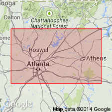
Pg. 30. Used informally as migmatite of Kennesaw Mountain of the allochthonous assemblage. Hurst (1952, unpub. MS thesis, Emory Univ., 165 p.) used the name "Kennesaw Mountain gneiss" for rocks he included in his migmatite category. McConnell and Abrams, 1984 (Georgia Geol. Survey Bull., no. 96, 127 p.) proposed formalized the name as Kennesaw Gneiss Member of their Laura Lake Mafic Complex. Usage is informal in this report because authors don't believe it belongs with Laura Lake Mafic Complex. Report includes geologic map and correlation chart. [See entry under Kennesaw Mountain.]
Source: GNU records (USGS DDS-6; Reston GNULEX).
For more information, please contact Nancy Stamm, Geologic Names Committee Secretary.
Asterisk (*) indicates published by U.S. Geological Survey authors.
"No current usage" (†) implies that a name has been abandoned or has fallen into disuse. Former usage and, if known, replacement name given in parentheses ( ).
Slash (/) indicates name conflicts with nomenclatural guidelines (CSN, 1933; ACSN, 1961, 1970; NACSN, 1983, 2005, 2021). May be explained within brackets ([ ]).

