- Usage in publication:
-
- Ken Quartzite
- Modifications:
-
- Named
- Dominant lithology:
-
- Quartzite
- AAPG geologic province:
-
- Peninsular Ranges province
Summary:
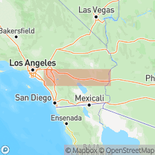
Named for Ken Peak, sec.34, R4E,T6S, SE San Jacinto Mtns., Riverside Co, CA. Name first used (thesis, Brown, 1968 and mapped in Brown (1980). Is youngest formation of Desert Divide Group (new). Is composed of coarse and medium crystalline quartzite and alternating light and dark bands of gneissic foliation. 3 mappable, marble lenses occur within unit; thickest lense is 140 ft. Unit is approx. 2500 ft. thick. Overlies Bull Canyon Formation (new) of Desert Divide Group. Concordantly underlies Palm Canyon Quartz Diorite (new). Intruded by middle Cretaceous granitic rocks (Larsen and others, 1958). Assigned Paleozoic(?) age based on stratigraphic relations.
Source: GNU records (USGS DDS-6; Menlo GNULEX).
For more information, please contact Nancy Stamm, Geologic Names Committee Secretary.
Asterisk (*) indicates published by U.S. Geological Survey authors.
"No current usage" (†) implies that a name has been abandoned or has fallen into disuse. Former usage and, if known, replacement name given in parentheses ( ).
Slash (/) indicates name conflicts with nomenclatural guidelines (CSN, 1933; ACSN, 1961, 1970; NACSN, 1983, 2005, 2021). May be explained within brackets ([ ]).

