

- Usage in publication:
-
- Keenan Quartzite*
- Modifications:
-
- Named
- Reference
- Dominant lithology:
-
- Quartzite
- Shale
- Argillite
- AAPG geologic province:
-
- Alaska East-Central region
Summary:
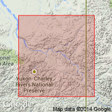
Named as lowest of three formations of Kandik Group. Type section designated as exposures on west bank of Yukon River 0.8 km downstream from mouth of Glenn Creek, sec.36 T6N R27E, Charley B-3 quad, AK. Reference section designated along unnamed tributary of Kandik River, E 1/2 sec.23 T7N R29E, Charley River B-2 quad, northeast AK. Composed of light- to dark-gray fine-grained, massive glauconitic quartzite. At reference section unit contains interbeds of black shale and argillite. Thickness of type section is 45 m; range is 45 to 300 m. Overlies Glenn Shale (new). Underlies Biederman Argillite (new). Age is Early Cretaceous based on pelecypods BUCHIA "SUBIAVIS" and BUCHIA cf B. CROSSICOLLIS.
Source: GNU records (USGS DDS-6; Menlo GNULEX).
For more information, please contact Nancy Stamm, Geologic Names Committee Secretary.
Asterisk (*) indicates published by U.S. Geological Survey authors.
"No current usage" (†) implies that a name has been abandoned or has fallen into disuse. Former usage and, if known, replacement name given in parentheses ( ).
Slash (/) indicates name conflicts with nomenclatural guidelines (CSN, 1933; ACSN, 1961, 1970; NACSN, 1983, 2005, 2021). May be explained within brackets ([ ]).