


- Usage in publication:
-
- Kiefer sandstone member
- [Keefer sandstone member]
- Modifications:
-
- Original reference
- Dominant lithology:
-
- Sandstone
- AAPG geologic province:
-
- Appalachian basin
Summary:
Pg. 522, 591, pl. 28. The Kiefer [Keefer] sandstone of Maryland has hitherto been referred to [but not named] as top member of the Clinton. On investigation it was established that it is a locally developed deposit, that it passes without break into overlying sandy shales of McKenzie formation, and that it is bounded below by an unconformity which in places cut out Rochester member or formation of Clinton group. On these grounds, which are supplemented by good faunal evidence, the Kiefer sandstone is now classified as a local basal member or facies of McKenzie fornmation. [Age is Silurian.]
[Named from Keefer Mountain, Cherry Run and Big Cove Tannery 7.5-min quadrangles, Franklin Co., southern PA, a few mi northeast of Hancock, MD.]
Source: US geologic names lexicons (USGS Bull. 896, p. 1078, 1092, McKenzie entry p. 1253-1254; USGS Bull. 1200, p. 1982).
- Usage in publication:
-
- Keefer sandstone member*
- Modifications:
-
- Revised
- AAPG geologic province:
-
- Appalachian basin
Summary:
Pg. 436. Keefer sandstone member included in Clinton formation. [This is present (ca. 1938) generally accepted definition.]
Source: US geologic names lexicon (USGS Bull. 896, p. 1253-1254).
- Usage in publication:
-
- Keefer Formation
- Modifications:
-
- Overview
- AAPG geologic province:
-
- Appalachian basin
Summary:
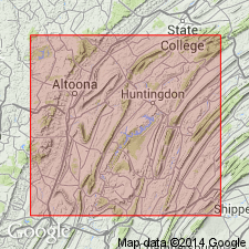
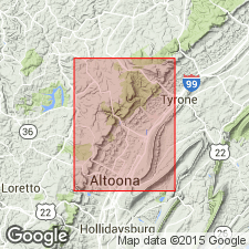
The Keefer extends throughout central and south-central PA into western MD and northeastern WV. Because it is thin, it is included here with the Mifflintown Formation. In the report area, the Keefer consists of two parts: a lower fossil iron ore sequence and an upper sandstone unit. The lower sequence is grayish-red to grayish-brown, coarse to very coarse grained, very thin bedded calcarenite. It is very hematitic and fossiliferous with abundant crinoid columnals, brachiopods, and other fossil debris. Upper sequence is white, fine-grained, very thin to thick-bedded calcareous sandstone. The sandstone thins toward Brush Mountain and near Altoona is completely absent. Lower contact with Rose Hill is gradational; upper contact with Mifflintown is conformable and sharp. Thickness is 5+/-1 m in Scotch Valley and 3+/-1 m west of Brush Mountain. Best exposure is along U.S. Rte 220 opposite Lakemont Park. Age is Early Silurian (Niagaran). [Niagaran considered Middle Silurian by the USGS.]
Source: GNU records (USGS DDS-6; Reston GNULEX).
- Usage in publication:
-
- "Keefer" Sandstone
- Modifications:
-
- Areal extent
- Overview
- AAPG geologic province:
-
- Appalachian basin
Summary:
Near Eagle Rock, VA, sandstones at the approximate Keefer position are unusually thick and lack body fossils. These strata are informally called "Keefer" Sandstone and are of uncertain age. The "Keefer" is similar in the Catawba syncline. Underlies Clifton Forge and Rocky Gap Sandstones of Helderberg Group.
Source: GNU records (USGS DDS-6; Reston GNULEX).
For more information, please contact Nancy Stamm, Geologic Names Committee Secretary.
Asterisk (*) indicates published by U.S. Geological Survey authors.
"No current usage" (†) implies that a name has been abandoned or has fallen into disuse. Former usage and, if known, replacement name given in parentheses ( ).
Slash (/) indicates name conflicts with nomenclatural guidelines (CSN, 1933; ACSN, 1961, 1970; NACSN, 1983, 2005, 2021). May be explained within brackets ([ ]).