

- Usage in publication:
-
- Karen Creek Sandstone*
- Modifications:
-
- Named
- Biostratigraphic dating
- Dominant lithology:
-
- Sandstone
- AAPG geologic province:
-
- Alaska Northern region
Summary:
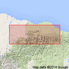
Type section designated as west bank of upper part of Karen Creek, 5.1 km S 48 deg E of outlet of Lake Schrader 69 deg 22'N, 144 deg 49'W [T1S R30E, Mount Michelson (1:250,000) quad] northeastern AK. Formerly referred to as basal beds of Kingak Shale by Reed (1968, p.56). Best exposed along north front of Brooks Range between Kavik and Aichilik Rivers. Primarily consists of very fine-grained, massively bedded, dark siliceous quartz arenite. Contains large irregular to colloform phosphate nodules. Is 21 m thick at type; ranges from 3 m on Kavik River to 38 m near Jago River. Conformably overlies Shublik Formation; disconformably(?) underlies Kingak Shale. Is Late Triassic age on basis of pelecypods MONOTIS OCHOTICA OCHOTICA (Keyserling) and GRYPHAEA KEILHAOI Boehm (upper Norian Stage) (N.J. Silberling, written commun., 1969).
Source: GNU records (USGS DDS-6; Menlo GNULEX).
For more information, please contact Nancy Stamm, Geologic Names Committee Secretary.
Asterisk (*) indicates published by U.S. Geological Survey authors.
"No current usage" (†) implies that a name has been abandoned or has fallen into disuse. Former usage and, if known, replacement name given in parentheses ( ).
Slash (/) indicates name conflicts with nomenclatural guidelines (CSN, 1933; ACSN, 1961, 1970; NACSN, 1983, 2005, 2021). May be explained within brackets ([ ]).