- Usage in publication:
-
- Kangaroo formation
- Modifications:
-
- Original reference
- Dominant lithology:
-
- Conglomerate
- Shale
- AAPG geologic province:
-
- Eagle basin
Summary:
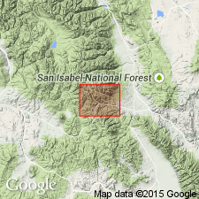
Pg. 70. Kangaroo formation. Quartzites, conglomerates, and metamorphosed shales; generally gray, often with brown, blue, or light-green tones; conglomerate at base. Thickness 3,000 feet. Includes all sedimentary rocks in district above Garfield formation, upon which it lies with unconformity. Age is Pennsylvanian(?) and Permian.
Named from Kangaroo Gulch, about 2 mi north of Monarch, Monarch district, Chaffee Co., central CO.
Source: US geologic names lexicon (USGS Bull. 896, p. 1068).

- Usage in publication:
-
- Kangaroo formation
- Modifications:
-
- Not used
Summary:
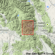
Kangaroo formation not used in this report. Previously applied to uppermost 3,000 feet of Pennsylvanian rocks. Same rocks are reassigned to the upper part of the Minturn formation of report area, in Chaffee County, Colorado [Eagle basin], and in Gunnison County, Colorado [Piceance basin]. In the southern and western parts of the quadrangle (geologic map), in Chaffee County, Colorado [Eagle basin], and in Gunnison County, Colorado [Piceance basin], the Pennsylvanian and Permian rocks are mapped as Belden shale and Minturn formation.
Source: Modified from GNU records (USGS DDS-6; Denver GNULEX).
For more information, please contact Nancy Stamm, Geologic Names Committee Secretary.
Asterisk (*) indicates published by U.S. Geological Survey authors.
"No current usage" (†) implies that a name has been abandoned or has fallen into disuse. Former usage and, if known, replacement name given in parentheses ( ).
Slash (/) indicates name conflicts with nomenclatural guidelines (CSN, 1933; ACSN, 1961, 1970; NACSN, 1983, 2005, 2021). May be explained within brackets ([ ]).

