- Usage in publication:
-
- Kangaroo Creek Formation
- Modifications:
-
- Named
- Biostratigraphic dating
- Dominant lithology:
-
- Limestone
- Conglomerate
- Mudstone
- Sandstone
- AAPG geologic province:
-
- Klamath Mountains province
Summary:
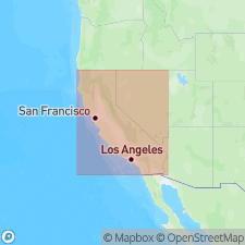
[Probably named for Kangaroo Creek, Lovers Leap area, Klamath Mountains, CA.] Named credited to Rohr (in press [published?]). Rocks at Lovers Leap assigned to new formation because they do not belong to Gazelle or Duzel Formations of previous workers. Consists of fossiliferous limestones and conglomerate, unfossiliferous mudstone, sandstone, and graywacke grouped into 9 informal members. Members range from about 6 to 50 m maximum in thickness. Unconformably overlies volcanic rocks. Age ranges from Ordovician to Early Devonian(?) based on fossils and on stratigraphic relations. Lists of fossils within members are included in report.
Source: GNU records (USGS DDS-6; Menlo GNULEX).

- Usage in publication:
-
- Kangaroo Creek Formation
- Modifications:
-
- Biostratigraphic dating
- AAPG geologic province:
-
- Klamath Mountains province
Summary:
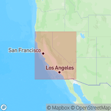
Kangaroo Creek Formation (Rohr, in press [published?] occurs in sec. 29-32 T41N R7W at Lovers Leap and in sec. 20-21 T41N R7W at Gregg Ranch, China Mountain 15' quad, eastern Klamath Mountains, CA. Upper part of unit is polymictic conglomerate that consists predominantly of gray limestone with lesser amounts of volcanic rocks, red limestone, and chert. Conglomerate part overlies massive pelletal limestone of unit. Divided into nine informal members. Fossils localities shown on sketch map. Red limestone clasts have yielded Middle Ordovician conodonts. Gray limestone clasts have yielded Ordovician brachiopods and Silurian fossils. Map legend shows age of unit is Ordovician, Silurian, and uppermost member 5 is Silurian or Devonian in age.
Source: GNU records (USGS DDS-6; Menlo GNULEX).
For more information, please contact Nancy Stamm, Geologic Names Committee Secretary.
Asterisk (*) indicates published by U.S. Geological Survey authors.
"No current usage" (†) implies that a name has been abandoned or has fallen into disuse. Former usage and, if known, replacement name given in parentheses ( ).
Slash (/) indicates name conflicts with nomenclatural guidelines (CSN, 1933; ACSN, 1961, 1970; NACSN, 1983, 2005, 2021). May be explained within brackets ([ ]).

