- Usage in publication:
-
- Kalves Creek Formation*
- Modifications:
-
- Named
- Dominant lithology:
-
- Schist
- Gneiss
- AAPG geologic province:
-
- Piedmont-Blue Ridge province
Summary:
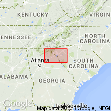
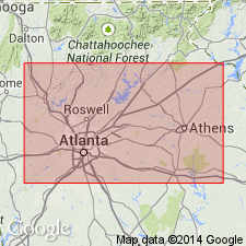
The Kalves Creek Formation of the Great Smoky Group is here named for exposures along Turner Church Road between Kalves Creek and Airline Road, Ola quad., Henry Co., GA. It overlies and is infolded with the Ola Formation in the Ola anticlinorium in the Bill Arp thrust sheet. It consists of medium- to coarse-grained schists, graphite-sillimanite schist, and lenses of biotite-plagioclase gneiss. It is a lithic match of the Wehutty, Frolona, and Manchester Formations in other parts of the Bill Arp thrust sheet. Age is Late Proterozoic.
Source: GNU records (USGS DDS-6; Reston GNULEX).

- Usage in publication:
-
- Kalves Creek Formation*
- Modifications:
-
- Overview
- AAPG geologic province:
-
- Piedmont-Blue Ridge province
Summary:
Rocks mapped as unnamed megacrystic sillimanite-mica schist in Six Mile thrust sheet compose a conspicuous marker unit similar to Kalves Creek Formation of Higgins and others (1988).
Source: GNU records (USGS DDS-6; Reston GNULEX).

- Usage in publication:
-
- Kalves Creek Member*
- Modifications:
-
- Revised
- Age modified
- AAPG geologic province:
-
- Piedmont-Blue Ridge province
Summary:
Rocks previously mapped as Kalves Creek Formation (similar but not identical to Ola Formation) are actually schistose Stonewall Gneiss of allochthonous assemblage. Reduced in rank to Kalves Creek Member of Stonewall Gneiss (Ola abandoned). Original description remains unchanged except as follows: in saprolite outcrops, schist of Kalves Creek member generally shows voids and iron stains where sulfide minerals have weathered out. In fresh core, schist contains as much as 20 percent pyrite. Thin granular quartzite is locally present. Age of Kalves Creek is changed, based on an age for the allochthonous assemblage of Late Proterozoic(?) to Middle Ordovician(?) based on a more conservative theory that the allochthonous rocks are 1) probably not older than Late Proterozoic because they are not part of Middle Proterozoic (Grenvillian) basement and 2) they could be as young, but not younger than, the time marking the beginning of closure of the ocean they originated in, as set by the slope reversal marked by deposition of Middle Ordovician Rockmart Slate upon unconformity at top of Upper Cambrian to Middle(?) Ordovician Knox Group and Middle Ordovician Lenoir Limestone. Report includes geologic map and correlation chart.
Source: GNU records (USGS DDS-6; Reston GNULEX).
For more information, please contact Nancy Stamm, Geologic Names Committee Secretary.
Asterisk (*) indicates published by U.S. Geological Survey authors.
"No current usage" (†) implies that a name has been abandoned or has fallen into disuse. Former usage and, if known, replacement name given in parentheses ( ).
Slash (/) indicates name conflicts with nomenclatural guidelines (CSN, 1933; ACSN, 1961, 1970; NACSN, 1983, 2005, 2021). May be explained within brackets ([ ]).

