- Usage in publication:
-
- Kalaupapa basalt
- Modifications:
-
- First used
- AAPG geologic province:
-
- Molokai
Summary:
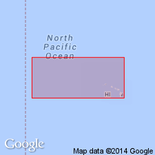
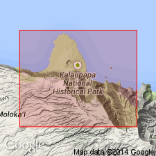
Includes all lava flows making up Kalaupapa Peninsula and Mokuhooniki, island off E coast of Island of Molokai, HI. Crater 400 ft deep indents summit of dome. Extent about 4 sq mi and highest point is 405 ft. Base not exposed. Separated from West Molokai volcanic series (new) by erosional unconformity. "Conglomerate overlying basalt on SE side of peninsula seems to be graded to a stand of the sea 25 ft higher." "On this evidence ... is assigned to the late Pleistocene." (p.73)
Source: GNU records (USGS DDS-6; Menlo GNULEX).
- Usage in publication:
-
- Kalaupapa basalt*
- Modifications:
-
- Named
- Dominant lithology:
-
- Basalt
- AAPG geologic province:
-
- Molokai
Summary:
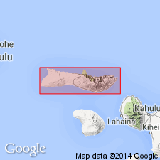
"... is named from the leper settlement which is built on this lava. The basalt forms a peninsula 2.5 miles long and 2.5 miles wide." Map shows Kauhako Crater, vent from which unit extruded.
Source: GNU records (USGS DDS-6; Menlo GNULEX).
- Usage in publication:
-
- Kalaupapa basalt*
- Modifications:
-
- Age modified
- AAPG geologic province:
-
- Molokai
Summary:
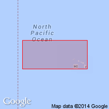
Type locality: Kalaupapa Peninsula [21 deg 11' 33"N, 156 deg 59' 10"W, Kanuakakai quad] Island of Molokai, HI. Covers 6.25 sq mi. Assigned Pleistocene(?) age although text quotes Stearns (1946) ..."is assigned a late Pleistocene age" based on stratigraphic relation to beach deposits.
Source: GNU records (USGS DDS-6; Menlo GNULEX).
- Usage in publication:
-
- Kalaupapa Basalt*
- Modifications:
-
- Geochronologic dating
- AAPG geologic province:
-
- Molokai
Summary:
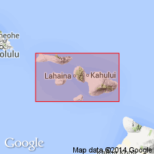
K-Ar age on sample of alkalic olivine basalt from Kauhako Crater [Kalaupapa Basalt] on Kalaupapa Peninsula, Island of Molokai, gave 1.24 +/-0.16 Ma.
Source: GNU records (USGS DDS-6; Menlo GNULEX).
- Usage in publication:
-
- Kalaupapa Basalt*
- Modifications:
-
- Geochronologic dating
- AAPG geologic province:
-
- Molokai
Summary:
Varies in composition from basanite to lava transitional between alkalic and tholeiitic basalt. K-Ar ages on basalt samples [of Kalaupapa Basalt] from west wall and south wall of Kauhako Crater and from collapsed lava tube 500 m north of crater range from 0.57 +/-0.025 to 0.344 +/-0.031 Ma.
Source: GNU records (USGS DDS-6; Menlo GNULEX).
- Usage in publication:
-
- Kalaupapa Volcanics*
- Modifications:
-
- Redescribed
- AAPG geologic province:
-
- Molokai
Summary:
Kalaupapa Basalt [Stearns and Macdonald, 1947] remained Kalaupapa Volcanics to reflect range of compositions present. Consists of rejuvenated-stage lava of alkalic basalt, basanite, and associated cone. Unconformably overlies East Molokai Volcanics. Is Pleistocene age based on K-Ar ages of 0.57 +/-0.02 to 0.35 +/-0.03 Ma.
Source: GNU records (USGS DDS-6; Menlo GNULEX).
For more information, please contact Nancy Stamm, Geologic Names Committee Secretary.
Asterisk (*) indicates published by U.S. Geological Survey authors.
"No current usage" (†) implies that a name has been abandoned or has fallen into disuse. Former usage and, if known, replacement name given in parentheses ( ).
Slash (/) indicates name conflicts with nomenclatural guidelines (CSN, 1933; ACSN, 1961, 1970; NACSN, 1983, 2005, 2021). May be explained within brackets ([ ]).

