The National Geologic Map Database is migrating to a new infrastructure. We apologize for any service disruptions during this process.
|
|---|


- Usage in publication:
-
- Kalamazoo volcanics
- Modifications:
-
- Original reference
- Dominant lithology:
-
- Flows
- Volcanic breccias
- Conglomerates
- Lapilli
- Ignimbrites
- AAPG geologic province:
-
- Great Basin province
Summary:
Pg. 160, 164-165; geol. map. Kalamazoo volcanics. Flows, volcanic breccias, conglomerates, and lapilli, and subordinate ignimbrites. Thickness approximately 2,000 to 3,500 feet. Subdivided into seven informal members, separately mapped. Overlies Kinsey Canyon formation (new); unconformably underlies North Creek formation (new). Age is Tertiary; tentatively assigned an age of Eocene to Oligocene based on K-Ar date of ~34 Ma and stratigraphic relations.
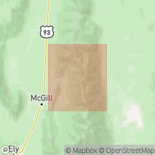
Named from best exposures at Kalamazoo Pass-upper Kalamazoo Canyon, Schell Creek Range area, Ely quadrangle, White Pine Co., [Humboldt National Forest], eastern NV. [Mapped in T. 19 and 20 N., R. 64 and 65 E.]
Source: Publication; US geologic names lexicon (USGS Bull. 1200, p. 1959).
For more information, please contact Nancy Stamm, Geologic Names Committee Secretary.
Asterisk (*) indicates published by U.S. Geological Survey authors.
"No current usage" (†) implies that a name has been abandoned or has fallen into disuse. Former usage and, if known, replacement name given in parentheses ( ).
Slash (/) indicates name conflicts with nomenclatural guidelines (CSN, 1933; ACSN, 1961, 1970; NACSN, 1983, 2005, 2021). May be explained within brackets ([ ]).