

- Usage in publication:
-
- Jose formation
- Modifications:
-
- Original reference
- Dominant lithology:
-
- Oolite
- AAPG geologic province:
-
- Basin-and-Range province
Summary:
Pg. 148. Jose formation of El Paso group [author does not capitalize rank terms; however, units are considered formal]. An oolite younger than Victorio formation (new) and older than Mud Springs Mountain formation (new). Age is Early Ordovician (middle Canadian; Demingian). Canadian treated as a system in this report. Author states that his philosophy of nomenclature is contrary to "the present fashion of delimiting formations on lithology alone." The resulting proposed divisions of the El Paso Group are thus "a succession of strata and faunas."
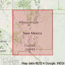
Type section: northern end of Cooks Range, Florida Mountains, Luna Co., NM. Named from Jose mining district in Cooks Range, Luna Co., NM.
Source: US geologic names lexicon (USGS Bull. 1350, p. 376); supplemental information from GNU records (USGS DDS-6; Denver GNULEX).
- Usage in publication:
-
- Jose Formation
- Modifications:
-
- Not used
- AAPG geologic province:
-
- Basin-and-Range province
- Orogrande basin
Summary:
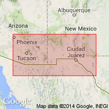
Pg. 34 (fig. 17), 35. Jose Formation of Flower (1964) not used. Rocks are included in upper sandy member of Hitt Canyon Formation (new) of El Paso Group; type in Franklin Mountains area, El Paso County, westernmost Texas, and Dona Ana County, southeasternmost New Mexico. Jose is not practically mappable at scales most commonly used for this region; is too thin and generally occurs on steep slopes. Also not named from a properly recognized geographic feature.
[Hitt Canyon Formation exposed in eastern part of study region, which covers Culberson, El Paso, and Hudspeth Cos., western TX, and Catron, Dona Ana, Grant, Hidalgo, Luna, Otero, Sierra, and Socorro Cos., NM.]
Source: Publication.
For more information, please contact Nancy Stamm, Geologic Names Committee Secretary.
Asterisk (*) indicates published by U.S. Geological Survey authors.
"No current usage" (†) implies that a name has been abandoned or has fallen into disuse. Former usage and, if known, replacement name given in parentheses ( ).
Slash (/) indicates name conflicts with nomenclatural guidelines (CSN, 1933; ACSN, 1961, 1970; NACSN, 1983, 2005, 2021). May be explained within brackets ([ ]).